|
|
click photo for larger file
high resolution: ZOOM browser
view full size

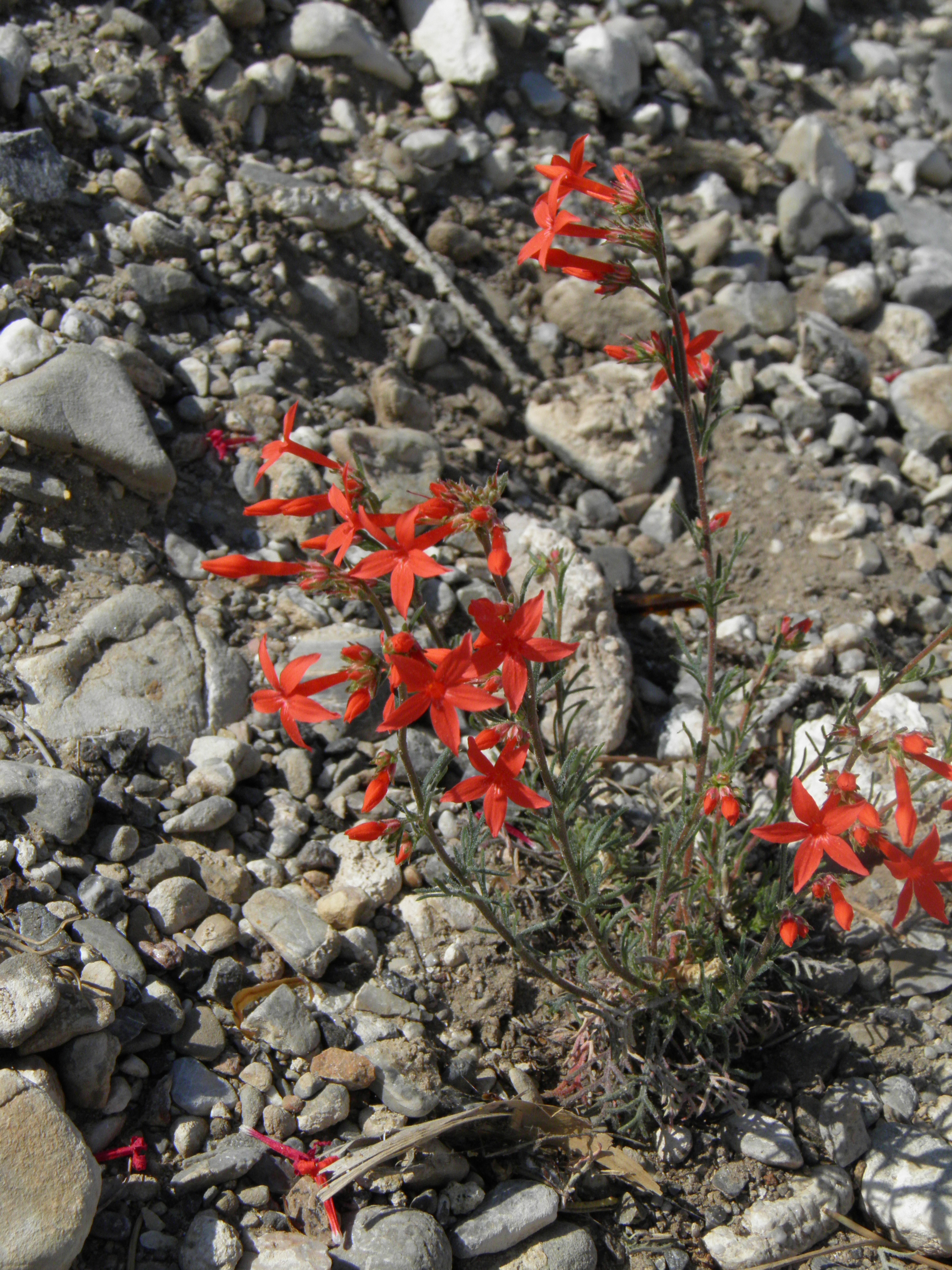
Ipomopsis arizonica
Arizona Skyrocket
|
Photographer: E. Wynn Anderson
ID: 0000 0000 1122 0303 (2022-11-06)Copyright © 2022 Wynn Anderson
|
|
INFORMATION PROVIDED WITH THE PHOTO
|
date of photo Jun 28, 2013
latitude 36.37130 longitude 115.62801
View on Google Maps.
location
State Hiway NV 156, at trailhead for FS 836 trail north from road, 2.6 miles east of NV 158(Deer Creek Rd.) Toiyabe Nat'l Forest, Spring Mountains (Clark County, Nevada, US)plant community on gravelly calcareous soil and alluvial limestone gravels on north bank of braided Lee Canyon wash with sparse arroyo riparian community merging with upslope pinyon-juniper woodland community at 6975' feet (2125 meters)contributor's ID # NV 117 photo category: Plant - annual/perennial
|
MORE INFORMATION ABOUT THIS PLANT
|
| common names
Arizona Skyrocket (photographer)
View all photos in CalPhotos of Ipomopsis arizonica Check Google Images for Ipomopsis arizonica |
|
The photographer's identification Ipomopsis arizonica has not been reviewed. Click here to review or comment on the identification. |
|
Using this photo The thumbnail photo (128x192 pixels) on this page may be freely used for personal or academic purposes without prior permission under the Fair Use provisions of US copyright law as long as the photo is clearly credited with © 2022 Wynn Anderson.
For other uses, or if you have questions, contact E. Wynn Anderson wanderson@UTEP.edu. |
|
|