|
|
click photo for larger file
high resolution: ZOOM browser
view full size

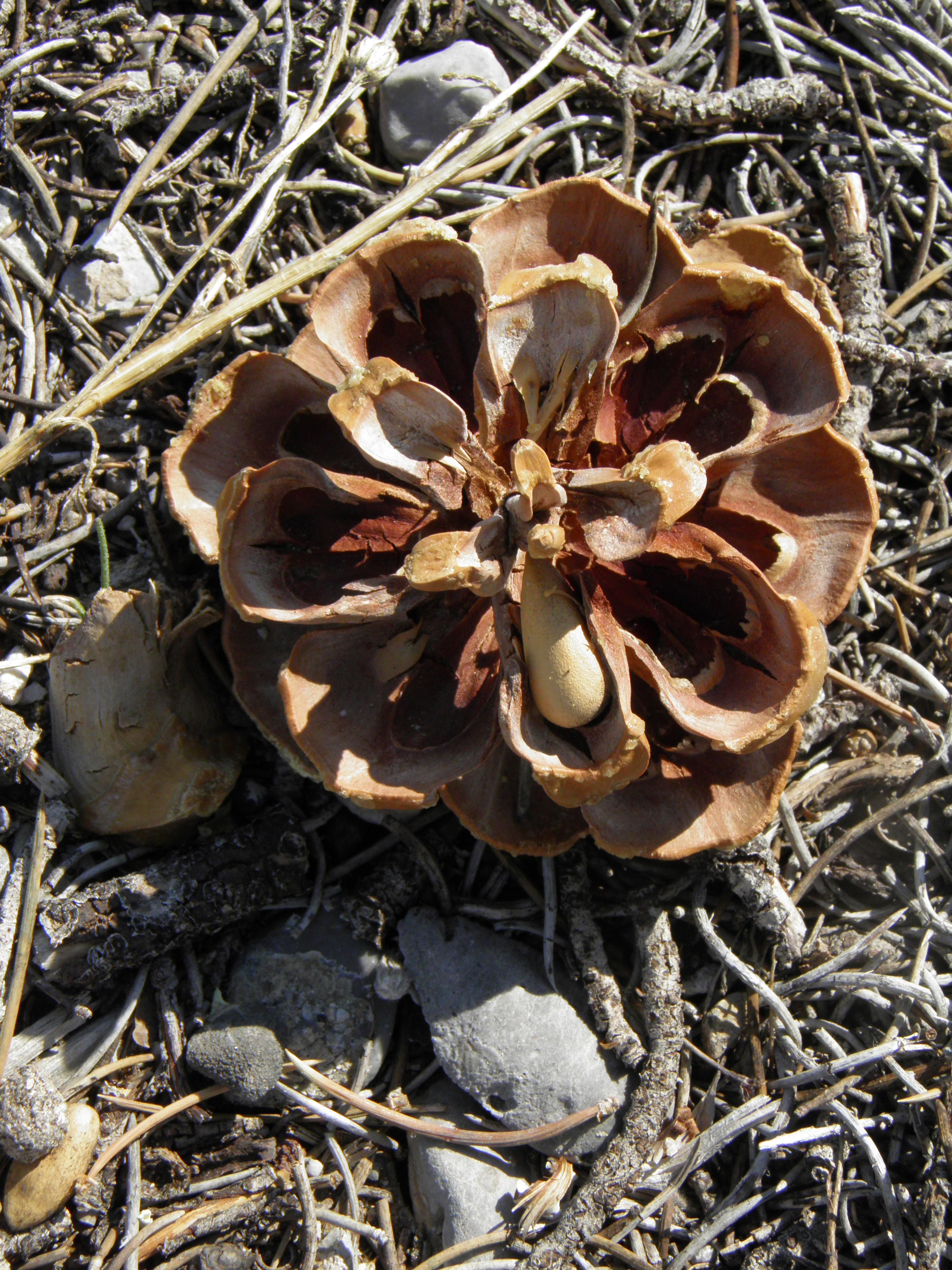
Pinus monosperma
Bristlecone Pine
|
Photographer: E. Wynn Anderson
ID: 0000 0000 1122 0194 (2022-11-05)Copyright © 2022 Wynn Anderson
|
|
INFORMATION PROVIDED WITH THE PHOTO
|
date of photo Jun 28, 2013
latitude 36.30667 longitude 115.62801
View on Google Maps.
location
at trailhead for Upper Bristlecone Pine Trail, off ending parking circle of NV 156 (Lee Canyon Rd.), in Lee Canyon, Toiyabe Nat'l Forest, Spring Mts.Toiyabe Nat'l Forest, Spring Mts. (Clark County, Nevada, US)family
Pinaceae
plant community on gravelly calcareous soil and coluviall gravels over low slopes of limestone substrate in a montane conifer community at 8645' feet (2635 meters)notes in conifer forest of Pinus longaeva, Pinus ponderosa, Pinus monophylla. Cone with nut shown.contributor's ID # NV 172 photo category: Plant - tree
|
MORE INFORMATION ABOUT THIS PLANT
|
| common names
Bristlecone Pine (photographer)
View all photos in CalPhotos of Pinus monosperma Check Google Images for Pinus monosperma |
|
The photographer's identification Pinus monosperma has not been reviewed. Click here to review or comment on the identification. |
|
Using this photo The thumbnail photo (128x192 pixels) on this page may be freely used for personal or academic purposes without prior permission under the Fair Use provisions of US copyright law as long as the photo is clearly credited with © 2022 Wynn Anderson.
For other uses, or if you have questions, contact E. Wynn Anderson wanderson@UTEP.edu. |
|
|