|
|
click photo for larger file
high resolution: ZOOM browser
view full size

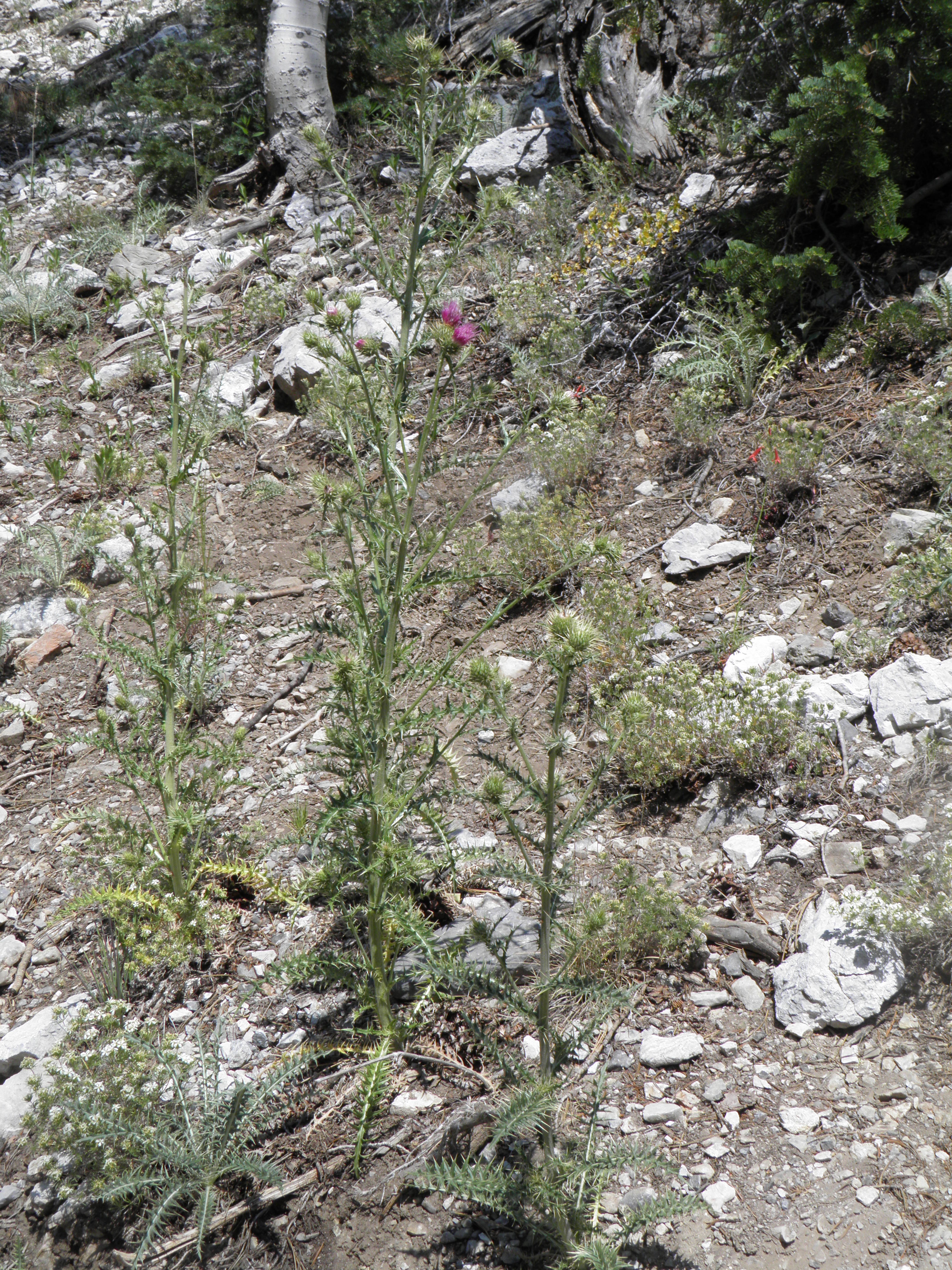
Cirisum eatonii var. clokeyi
Whitespine Thistle
|
Photographer: E. Wynn Anderson
ID: 0000 0000 1022 1191 (2022-10-27)Copyright © 2022 Wynn Anderson
|
|
INFORMATION PROVIDED WITH THE PHOTO
|
date of photo Jun 28, 2013
latitude 36.30650 longitude 115.67811
View on Google Maps.
location
along Upper Bristlecone Pine Trail, from trailhead at end of NV 156(Lee Canyon Rd.), 1.1 mile to turnaround and return just past trail fork north to Trail Overlook, Toiyabe Nat'l Forest, Spring Mts. (Clark Co. County, Nevada, US)family
Asteraceae
plant community at base of exposed limestone outcrop and toe of adjacent scree slope, on hillside with a montane conifer forest communtynotes Found along a 1.1 mile section of the trail between Upper Bristlecone Trailhead at 36.3065,-115.67811 at 8645'(2633 meters) and a turn around at 36.29939,-115.69343 at 7943'(2421 meters),just past fork north to Trail Overlook.contributor's ID # NV 344 photo category: Plant - annual/perennial
|
MORE INFORMATION ABOUT THIS PLANT
|
| common names
Whitespine Thistle, Clokey's Thistle, Spring Mts. Thistle (photographer)
View all photos in CalPhotos of Cirisum eatonii var. clokeyi Check Google Images for Cirisum eatonii var. clokeyi |
|
The photographer's identification Cirisum eatonii var. clokeyi has not been reviewed. Click here to review or comment on the identification. |
|
Using this photo The thumbnail photo (128x192 pixels) on this page may be freely used for personal or academic purposes without prior permission under the Fair Use provisions of US copyright law as long as the photo is clearly credited with © 2022 Wynn Anderson.
For other uses, or if you have questions, contact E. Wynn Anderson wanderson@UTEP.edu. |
|
|