|
|
click photo for larger file
high resolution: ZOOM browser
view full size

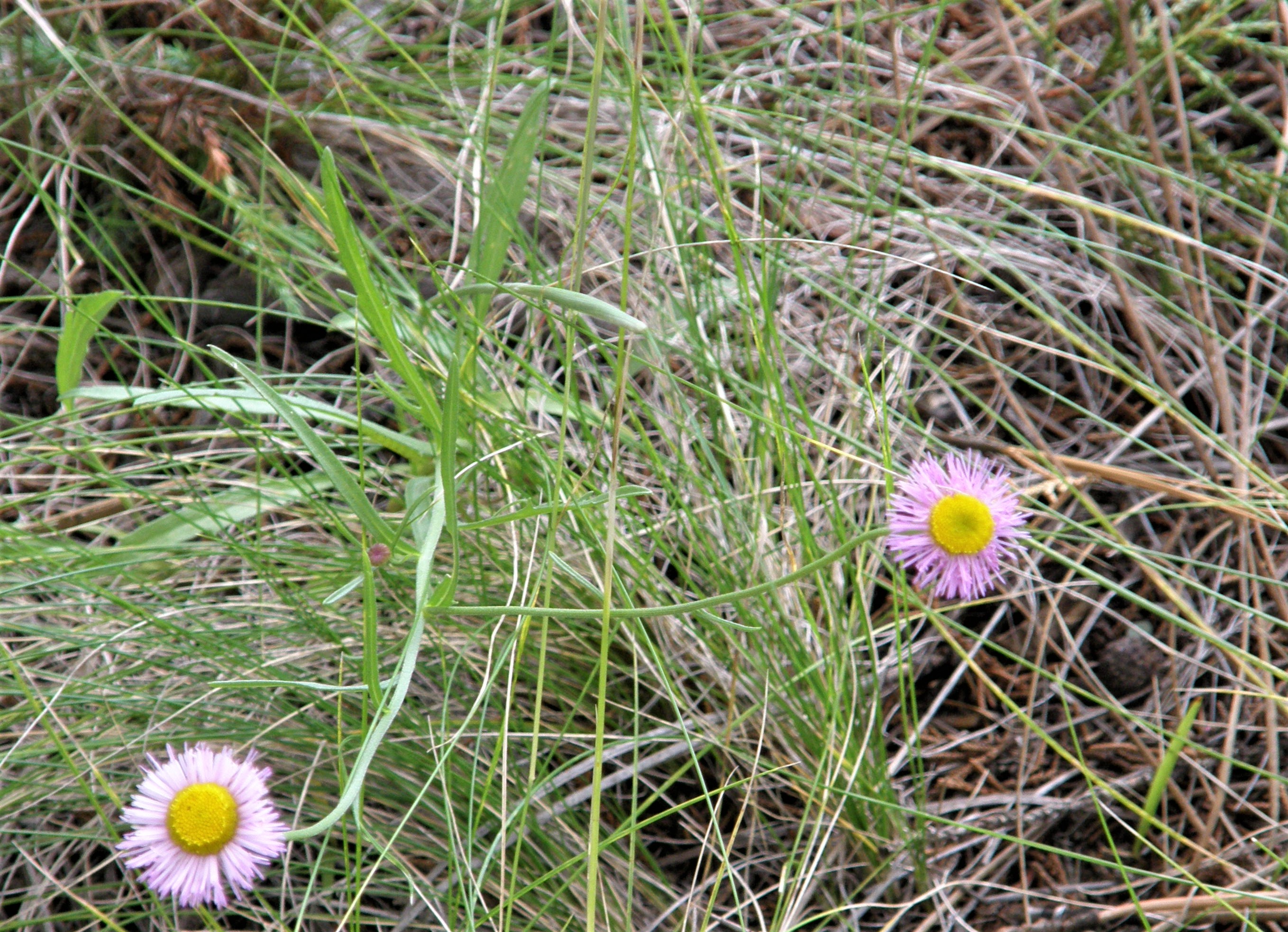
Erigeron coronarius
|
Photographer: E. Wynn Anderson
ID: 0000 0000 0319 0549 (2019-03-17)Copyright © 2019 Wynn Anderson
|
|
INFORMATION PROVIDED WITH THE PHOTO
|
date of photo Sep 28, 2007
latitude 29.23680 longitude 107.87290
View on Google Maps.
location
local paved road south from NIcolas Bravo, 1 mile north of junction with Pena Blanca-La Concha highway, 9.3 miles south of Nicolas Bravo, Laguna Babicora, (Mcp. Madera, Chihuahua, Mexico)family
Fabaceae
plant community Pine-Juniper-Oak woodland at elv. 7345' (2238m)notes rhizomatous perennial, on roadside bank in thickly wooded, low, undulating volcanic hills rising southwest to Cerro La Concha. In a steep sunny slope of coarse gravelly rhyolitic soil.keywords: SMOc
contributor's ID # SMOc 61 photo category: Plant - annual/perennial
|
MORE INFORMATION ABOUT THIS PLANT
|
| View all photos in CalPhotos of Erigeron coronarius Check Google Images for Erigeron coronarius |
|
The photographer's identification Erigeron coronarius has not been reviewed. Click here to review or comment on the identification. |
|
Using this photo The thumbnail photo (128x192 pixels) on this page may be freely used for personal or academic purposes without prior permission under the Fair Use provisions of US copyright law as long as the photo is clearly credited with © 2019 Wynn Anderson.
For other uses, or if you have questions, contact E. Wynn Anderson wanderson@UTEP.edu. |
|
|