|
|
click photo for larger file
high resolution: ZOOM browser
view full size

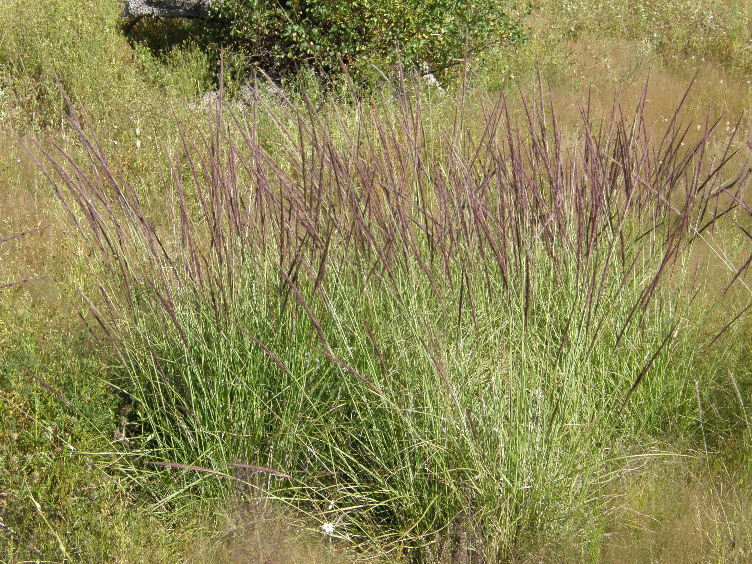
Muhlenbergia rigida
Purple Muhly
|
Photographer: E. Wynn Anderson
ID: 0000 0000 0319 0534 (2019-03-17)Copyright © 2019 Wynn Anderson
|
|
INFORMATION PROVIDED WITH THE PHOTO
|
date of photo Sep 28, 2007
latitude 29.41110 longitude 107.93510
View on Google Maps.
location
local paved road from Gomez Farias west around north side of lake basin, 7.4 miles west to Las Varas, at junction with paved road south 4.2 miles to Nicolas Bravo, Laguna Babicora, (Mcp. Madera, Chihuahua, Mexico)family
Poaceae
plant community Upland basin grassland at elv. 7117' (2169m)notes roadside crossing lush, flat, grassy meadow with scattered juniper along old, much retreating margins of a formerly large Pleistocene lake bed, in deep sediments of fine, largely volcanic derived soilskeywords: SMOc
contributor's ID # SMOc 37 photo category: Plant - annual/perennial
|
MORE INFORMATION ABOUT THIS PLANT
|
| common names
Purple Muhly (photographer)
View all photos in CalPhotos of Muhlenbergia rigida Check Google Images for Muhlenbergia rigida |
|
The photographer's identification Muhlenbergia rigida has not been reviewed. Click here to review or comment on the identification. |
|
Using this photo The thumbnail photo (128x192 pixels) on this page may be freely used for personal or academic purposes without prior permission under the Fair Use provisions of US copyright law as long as the photo is clearly credited with © 2019 Wynn Anderson.
For other uses, or if you have questions, contact E. Wynn Anderson wanderson@UTEP.edu. |
|
|