|
|
click photo for larger file
high resolution: ZOOM browser
view full size

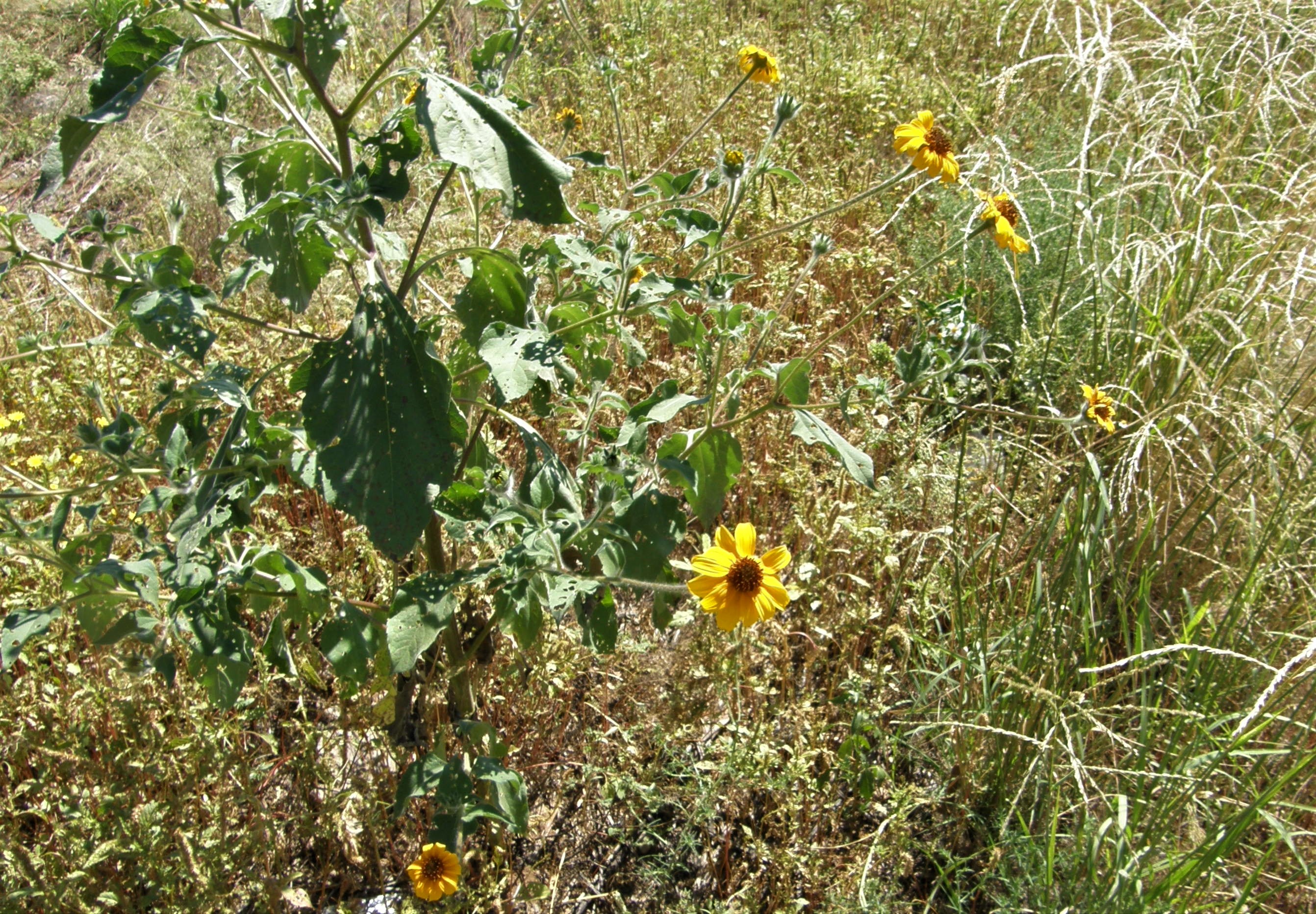
Tithonia tubaeformis
Mirasol del Campo
|
Photographer: E. Wynn Anderson
ID: 0000 0000 0319 0476 (2019-03-16)Copyright © 2019 Wynn Anderson
|
|
INFORMATION PROVIDED WITH THE PHOTO
|
date of photo Sep 28, 2007
latitude 29.92159 longitude 107.50980
View on Google Maps.
location
State Hiway CH 10, ca. 6 miles north of Buenaventura near village of Rodrigo Queveda, ,. MX (Mcp. Buenaventura, Chihuahua, Mexico)family
Asteraceae
plant community cultivated agricultural area replacing Chihuahuan Desert semi-arid grassland at 4951' (1509m)notes weedy unmowed roadside drainage swale, adjacent to agricultural area on calcareous loam of broad bolson bottomkeywords: CDR, Chihuahuan Desert
contributor's ID # CDR 02 photo category: Plant - annual/perennial
|
MORE INFORMATION ABOUT THIS PLANT
|
| common names
Mirasol del Campo, Giganton, Acahual (photographer)
View all photos in CalPhotos of Tithonia tubaeformis Check Google Images for Tithonia tubaeformis |
|
The photographer's identification Tithonia tubaeformis has not been reviewed. Click here to review or comment on the identification. |
|
Using this photo The thumbnail photo (128x192 pixels) on this page may be freely used for personal or academic purposes without prior permission under the Fair Use provisions of US copyright law as long as the photo is clearly credited with © 2019 Wynn Anderson.
For other uses, or if you have questions, contact E. Wynn Anderson wanderson@UTEP.edu. |
|
|