|
|
click photo for larger file
high resolution: ZOOM browser
view full size

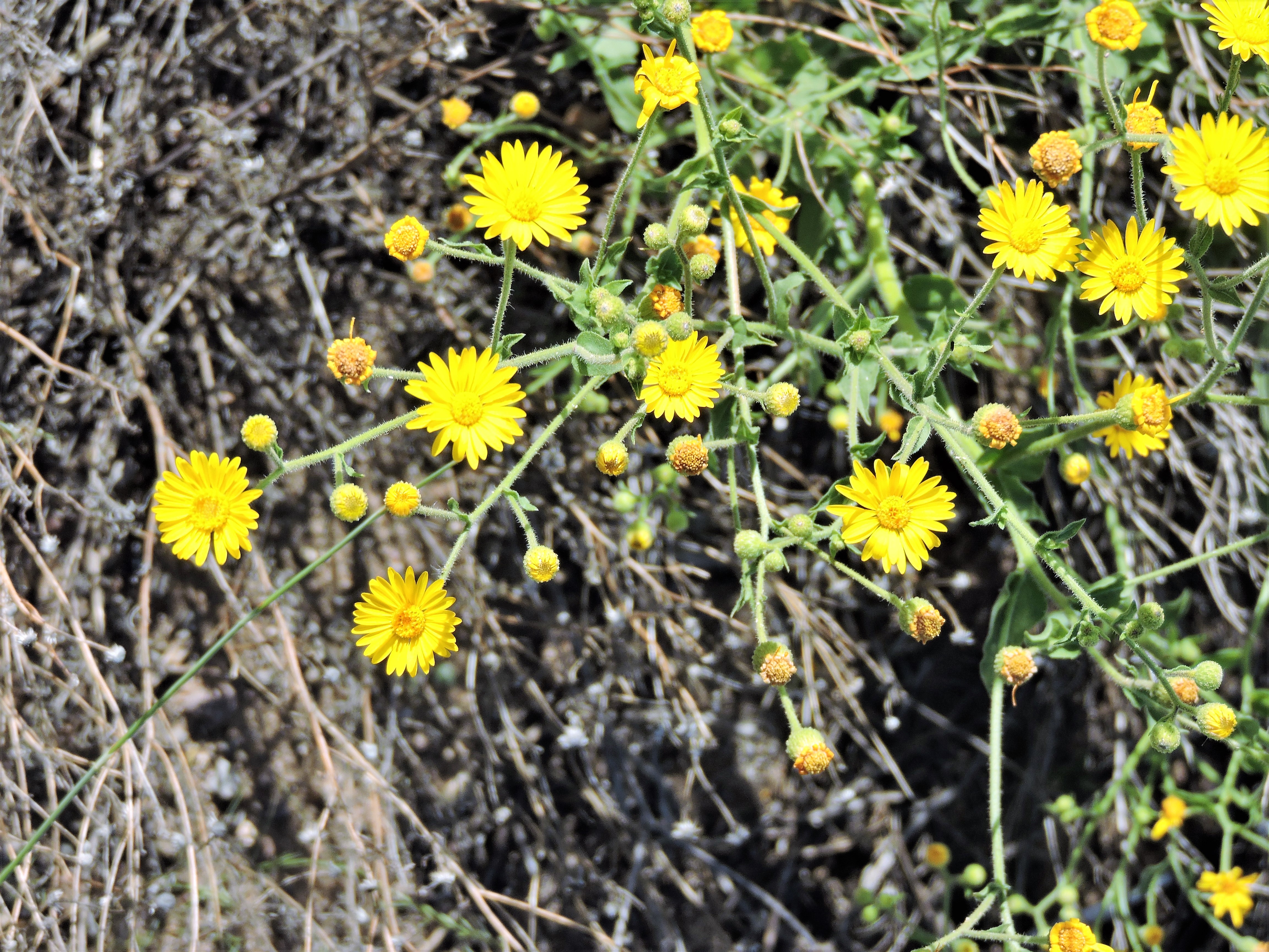
Heterotheca subaxillaris
Camphorweed
|
Photographer: E. Wynn Anderson
ID: 0000 0000 0119 0931 (2019-01-07)Copyright © 2019 Wynn Anderson
|
|
INFORMATION PROVIDED WITH THE PHOTO
|
date of photo Sep 11, 2016
latitude 32.83660 longitude 107.89290
View on Google Maps.
location
Federal Highway US 180, between County Roads AO09 and AO10, 10.4 miles southeast of junction with NM 61, 12.4 miles northwest of junction with NM 26 near DemingFederal Highway US 180, (Luna County, New Mexico, US)family
Asteraceae
plant community Chihuahuan Desert semi-arid grassland at 6322' (1927m)notes annuals or biennials at roadside, on disturbed silty/sandy flats of badly overgrazed and sheet wash eroded grassland. Leaves essentially glabrous but notably stipitate-glandular. Medicinal/camphor fragrance.keywords: CDR, Chihuahuan Desert, grassland
contributor's ID # CDR 1114 photo category: Plant - annual/perennial
|
MORE INFORMATION ABOUT THIS PLANT
|
| common names
Camphorweed (photographer)
View all photos in CalPhotos of Heterotheca subaxillaris Check Google Images for Heterotheca subaxillaris |
|
The photographer's identification Heterotheca subaxillaris has not been reviewed. Click here to review or comment on the identification. |
|
Using this photo The thumbnail photo (128x192 pixels) on this page may be freely used for personal or academic purposes without prior permission under the Fair Use provisions of US copyright law as long as the photo is clearly credited with © 2019 Wynn Anderson.
For other uses, or if you have questions, contact E. Wynn Anderson wanderson@UTEP.edu. |
|
|