|
|
click photo for larger file
high resolution: ZOOM browser
view full size

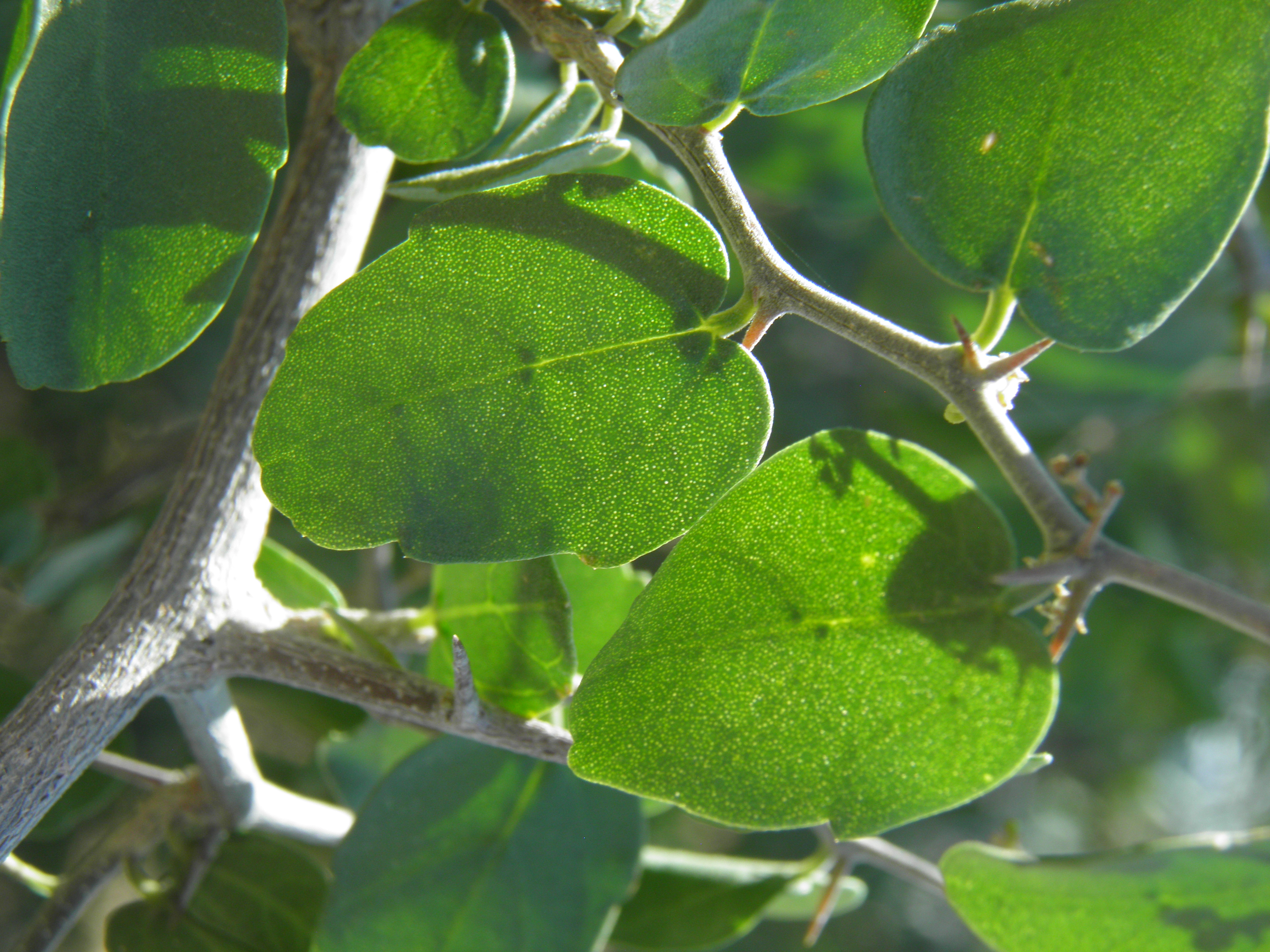
Celtis ehrenbergiana
Desert Hackberry
|
Photographer: E. Wynn Anderson
ID: 0000 0000 1218 2703 (2018-12-23)Copyright © 2018 Wynn Anderson
|
|
INFORMATION PROVIDED WITH THE PHOTO
|
date of photo Apr 20, 2016
latitude 332.70870 longitude 111.97210
View on Google Maps.
location
North Tatum Blvd., between Pinacle Peak Road and East Jomax Road, Phoenix (Maricopa County, Arizona, US)family
Cannabaceae
plant community Sonoran Desert scrub at 1795' (547m)notes large spiny shrub on flat basin plain of coarse volcanic rhyolitic soil and gravels. Foliage view.keywords: SON, Sonoran Desert
contributor's ID # SON 77 photo category: Plant - shrub
|
MORE INFORMATION ABOUT THIS PLANT
|
| common names
Desert Hackberry, Spiny Hackberry (photographer)
View all photos in CalPhotos of Celtis ehrenbergiana Check Google Images for Celtis ehrenbergiana |
|
The photographer's identification Celtis ehrenbergiana has not been reviewed. Click here to review or comment on the identification. |
|
Using this photo The thumbnail photo (128x192 pixels) on this page may be freely used for personal or academic purposes without prior permission under the Fair Use provisions of US copyright law as long as the photo is clearly credited with © 2018 Wynn Anderson.
For other uses, or if you have questions, contact E. Wynn Anderson wanderson@UTEP.edu. |
|
|