|
|
click photo for larger file
high resolution: ZOOM browser
view full size

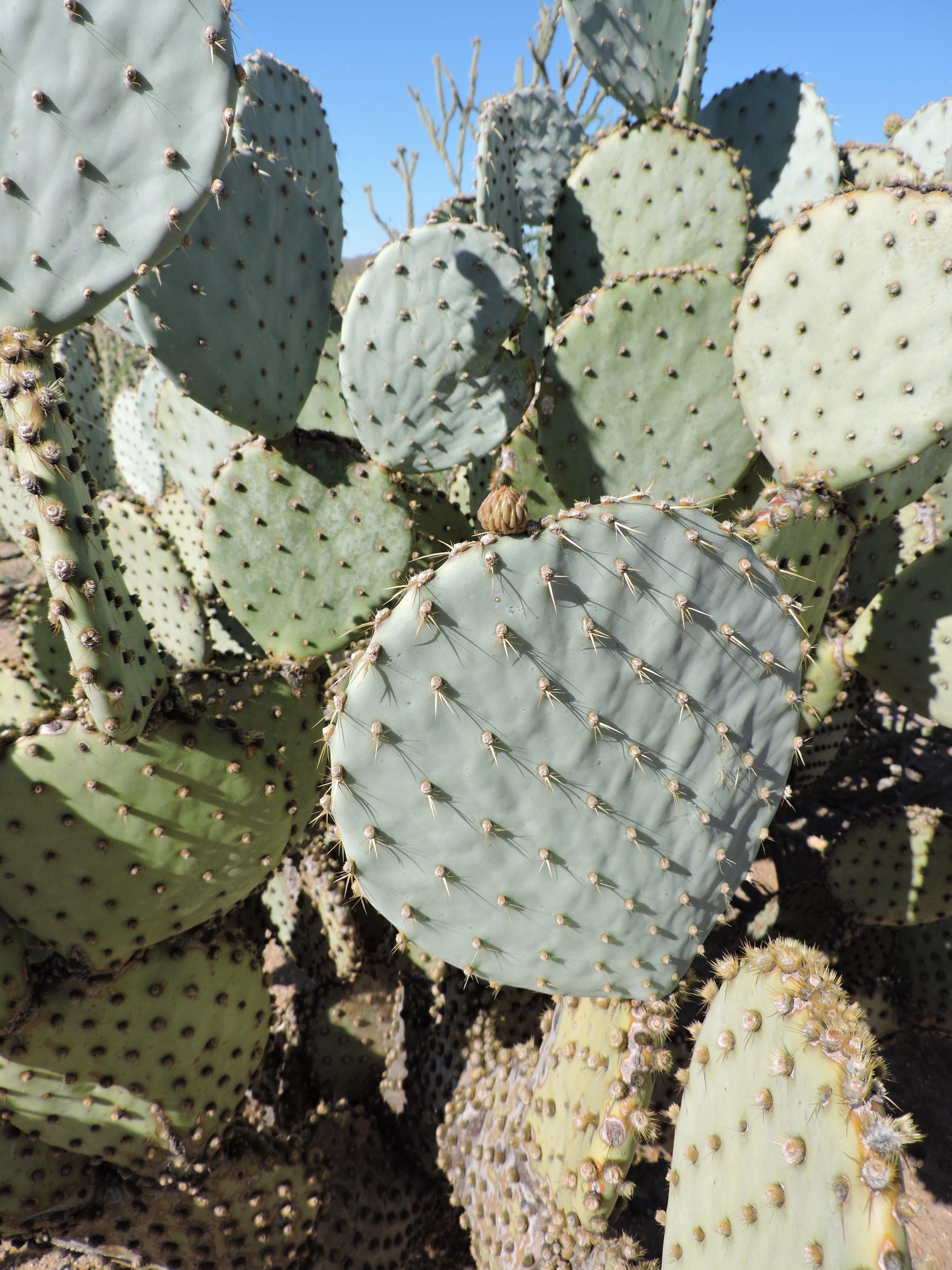
Opuntia santa-rita
Blue Prickly Pear
|
Photographer: E. Wynn Anderson
ID: 0000 0000 1218 2411 (2018-12-22)Copyright © 2018 Wynn Anderson
|
|
INFORMATION PROVIDED WITH THE PHOTO
|
date of photo Apr 24, 2016
latitude 34.12530 longitude 112.95330
View on Google Maps.
location
US 93, exit 179, 0.2 mi. northwest of intersection with State Highway AZ 71, ca. 7 miles southwest of Congress, 17 miles northwest of Wickenberg (Yavapai County, New Mexico, US)family
Cactaceae
plant community Sonoran Desert succulent scrub at 2350' (716m)notes glaucous, bluish padded, weakly spined succulent on flat basin plain in reddish silty/sandy volcanic soil. Confusingly muddled taxonomic choices have been presented by various authors including O. chloritica var. santa-rita (Ferguson 1988). More recently others have elevated similar plants to species as O. santa-rita. This west-central AZ population appears to be well outside stated southeastern range for the latter and lacks any visible purple coloration. ID is without confidence!keywords: SON, Sonoran Desert
contributor's ID # SON 1812 photo category: Plant - shrub
|
MORE INFORMATION ABOUT THIS PLANT
|
| common names
Blue Prickly Pear, Santa Rita Prickly Pear (photographer)
View all photos in CalPhotos of Opuntia santa-rita Check Google Images for Opuntia santa-rita |
|
The photographer's identification Opuntia santa-rita has not been reviewed. Click here to review or comment on the identification. |
|
Using this photo The thumbnail photo (128x192 pixels) on this page may be freely used for personal or academic purposes without prior permission under the Fair Use provisions of US copyright law as long as the photo is clearly credited with © 2018 Wynn Anderson.
For other uses, or if you have questions, contact E. Wynn Anderson wanderson@UTEP.edu. |
|
|