|
|
click photo for larger file
high resolution: ZOOM browser
view full size

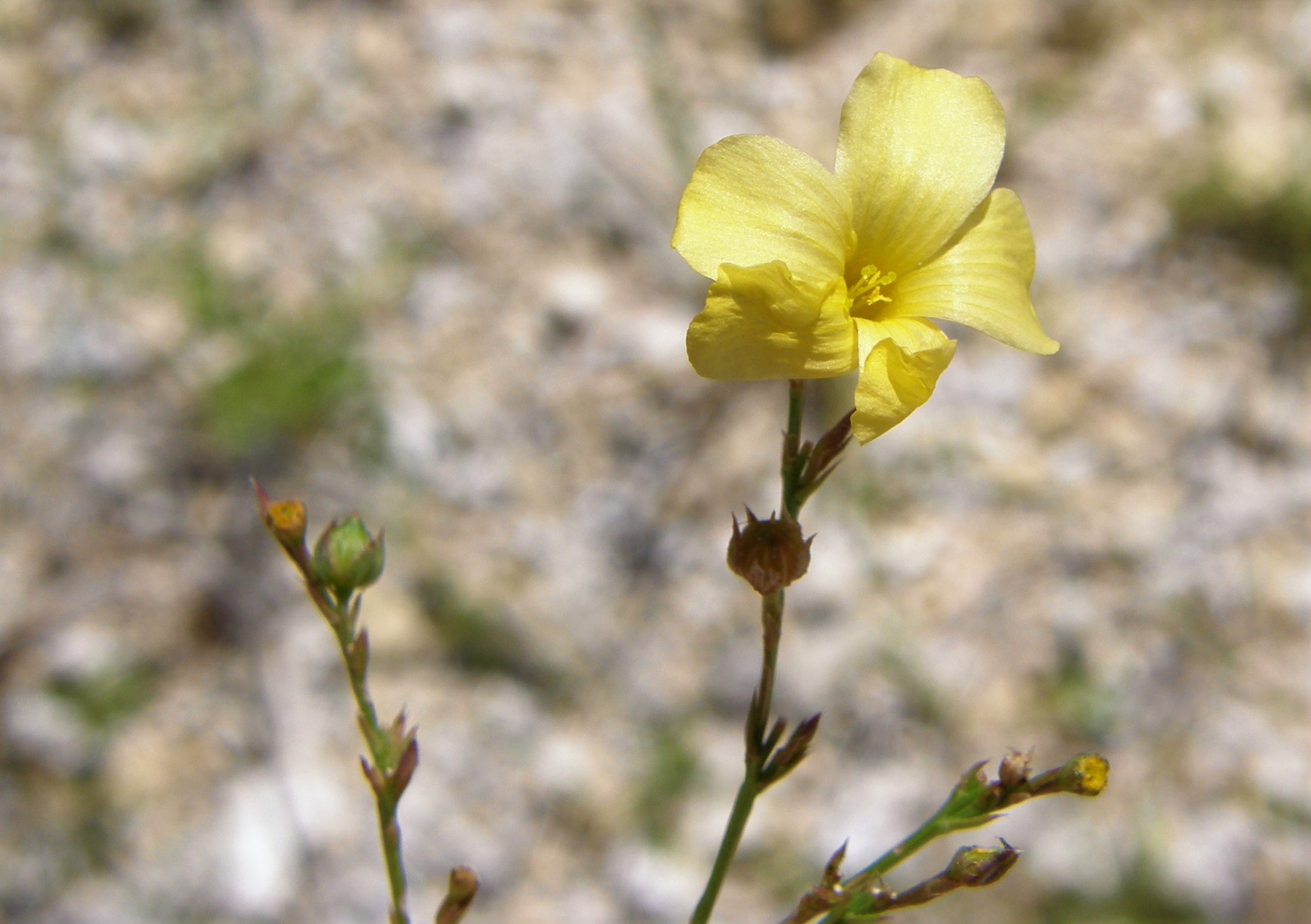
Linum rupestre
Rock Flax
|
Photographer: E. Wynn Anderson
ID: 0000 0000 1218 0416 (2018-12-09)Copyright © 2018 Wynn Anderson
|
|
INFORMATION PROVIDED WITH THE PHOTO
|
date of photo Jun 24, 2009
latitude 30.66180 longitude 101.70860
View on Google Maps.
location
State Highway TX 90, 1.4 mile east of entrance road to Fort Lancaster State Historical Park, 7.5 miles east of Sheffield (Crockett County, Texas, US)family
Linaceae
plant community Chihuahuan Desert scrub transition to semi-arid Edwards Plateau Woodland at 2037' (621m)notes glabrous slender stemmed perennial in thin calcareous soil amid coarse gravels of Cretaceous limestone hillside. Flowers clear yellowkeywords: CDR, Chihuahuan Desert
contributor's ID # CDR 10 photo category: Plant - annual/perennial
|
MORE INFORMATION ABOUT THIS PLANT
|
| common names
Rock Flax (photographer)
View all photos in CalPhotos of Linum rupestre Check Google Images for Linum rupestre |
|
The photographer's identification Linum rupestre has not been reviewed. Click here to review or comment on the identification. |
|
Using this photo The thumbnail photo (128x192 pixels) on this page may be freely used for personal or academic purposes without prior permission under the Fair Use provisions of US copyright law as long as the photo is clearly credited with © 2018 Wynn Anderson.
For other uses, or if you have questions, contact E. Wynn Anderson wanderson@UTEP.edu. |
|
|