|
|
click photo for larger file
high resolution: ZOOM browser
view full size

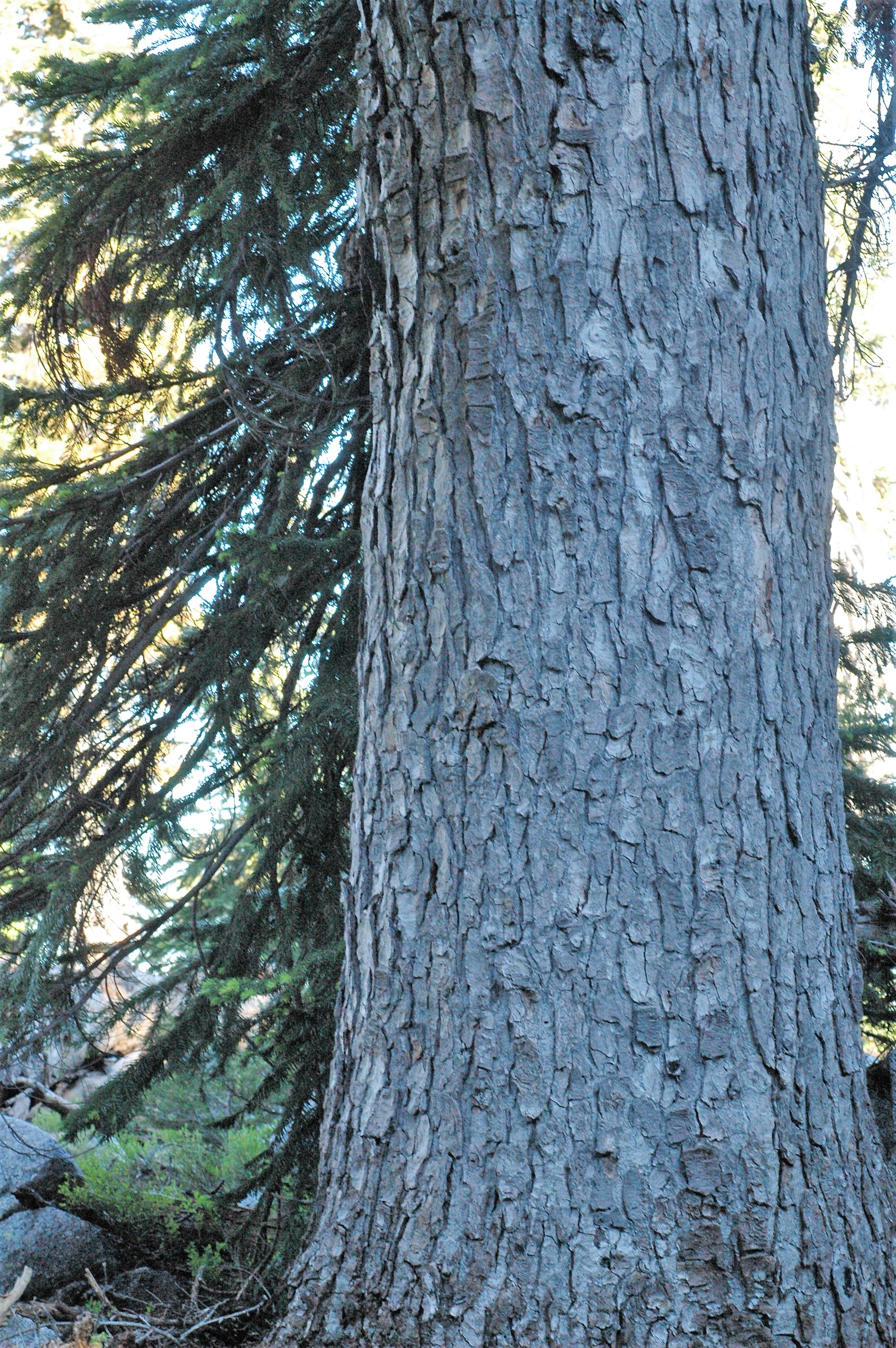
Abies amabilis
Pacific Silver Fir
|
Photographer: Dana York
ID: 0000 0000 0818 1704 (2018-08-22)Copyright © 2018 Dana York
|
|
|
The photographer's identification Abies amabilis has not been reviewed. Click here to review or comment on the identification. |
|
Using this photo The thumbnail photo (128x192 pixels) on this page may be freely used for personal or academic purposes without prior permission under the Fair Use provisions of US copyright law as long as the photo is clearly credited with © 2018 Dana York.
For other uses, or if you have questions, contact Dana York amoenus1[AT]netscape.net. (Replace the [AT] with the @ symbol before sending an email.) |
|
|