|
|
click photo for larger file
high resolution: ZOOM browser
view full size

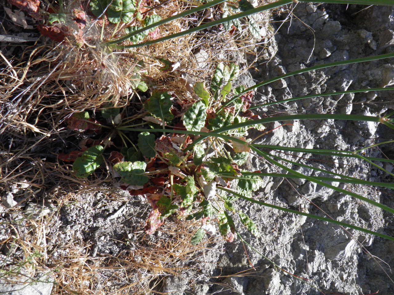
Eriogonum thurberi
Thurber's Poppy
|
Photographer: E. Wynn Anderson
ID: 0000 0000 0818 0526 (2018-08-05)Copyright © 2018 Wynn Anderson
|
|
INFORMATION PROVIDED WITH THE PHOTO
|
date of photo May 17, 2018
latitude 31.51960 longitude 116.32300
View on Google Maps.
location
Federal Highway MX 1(libre), 5.9 miles southeast of El Palomar in Santo Tomas, 18 miles north of post office in San Vicente (Baja California, Mexico)family
Polygonaceae
plant community inland chaparral at 1235' (376m)notes plant at base of steep north facing roadcut cliff in gray limestone with Dendromecon rigida, Dudleya lanceolata, Brickellia atractyloides.keywords: BCn, Baja
contributor's ID # BCn 400 photo category: Plant - annual/perennial
|
MORE INFORMATION ABOUT THIS PLANT
|
| common names
Thurber's Poppy (photographer)
View all photos in CalPhotos of Eriogonum thurberi Check Google Images for Eriogonum thurberi |
|
The photographer's identification Eriogonum thurberi has not been reviewed. Click here to review or comment on the identification. |
|
Using this photo The thumbnail photo (128x192 pixels) on this page may be freely used for personal or academic purposes without prior permission under the Fair Use provisions of US copyright law as long as the photo is clearly credited with © 2018 Wynn Anderson.
For other uses, or if you have questions, contact E. Wynn Anderson wanderson@UTEP.edu. |
|
|