|
|
click photo for larger file
high resolution: ZOOM browser
view full size

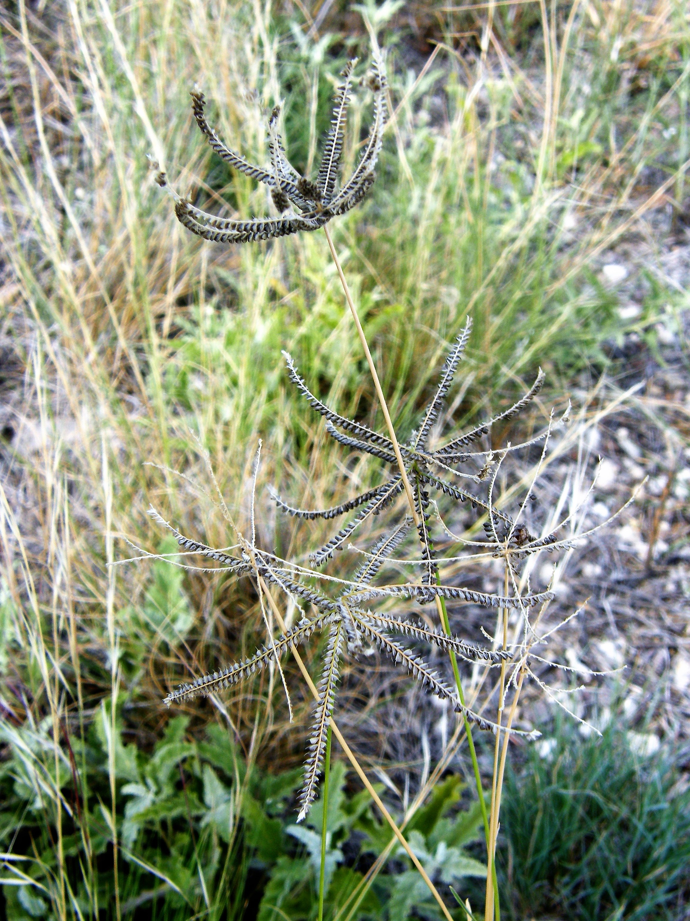
Chloris cucullata
Hooded Windmill Grass
|
Photographer: E. Wynn Anderson
ID: 0000 0000 0318 3307 (2018-03-21)Copyright © 2018 Wynn Anderson
|
|
INFORMATION PROVIDED WITH THE PHOTO
|
date of photo Aug 20, 2008
latitude 31.82280 longitude 104.04380
View on Google Maps.
location
State Highway TX-RM 652, 7.9 miles west of junction with US 285 in Orla, 2.1 miles west of Salt Creek bridge, 1.8 miles east of RR crossing (Culberson County, Texas, US)family
Poaceae
plant community Chihuahuan Desert semi-arid grassland transition to mesquite-creosote scrub at 3085' (904m)notes clumping perennial grass in roadside drainage swale crossing degraded grassland on generally flat plain of limestone gravels and calcareous soil.keywords: CDR, Chihuahuan Desert
contributor's ID # CDR 151 photo category: Plant - annual/perennial
|
MORE INFORMATION ABOUT THIS PLANT
|
| common names
Hooded Windmill Grass (photographer)
View all photos in CalPhotos of Chloris cucullata Check Google Images for Chloris cucullata |
|
The photographer's identification Chloris cucullata has not been reviewed. Click here to review or comment on the identification. |
|
Using this photo The thumbnail photo (128x192 pixels) on this page may be freely used for personal or academic purposes without prior permission under the Fair Use provisions of US copyright law as long as the photo is clearly credited with © 2018 Wynn Anderson.
For other uses, or if you have questions, contact E. Wynn Anderson wanderson@UTEP.edu. |
|
|