|
|
click photo for larger file
high resolution: ZOOM browser
view full size

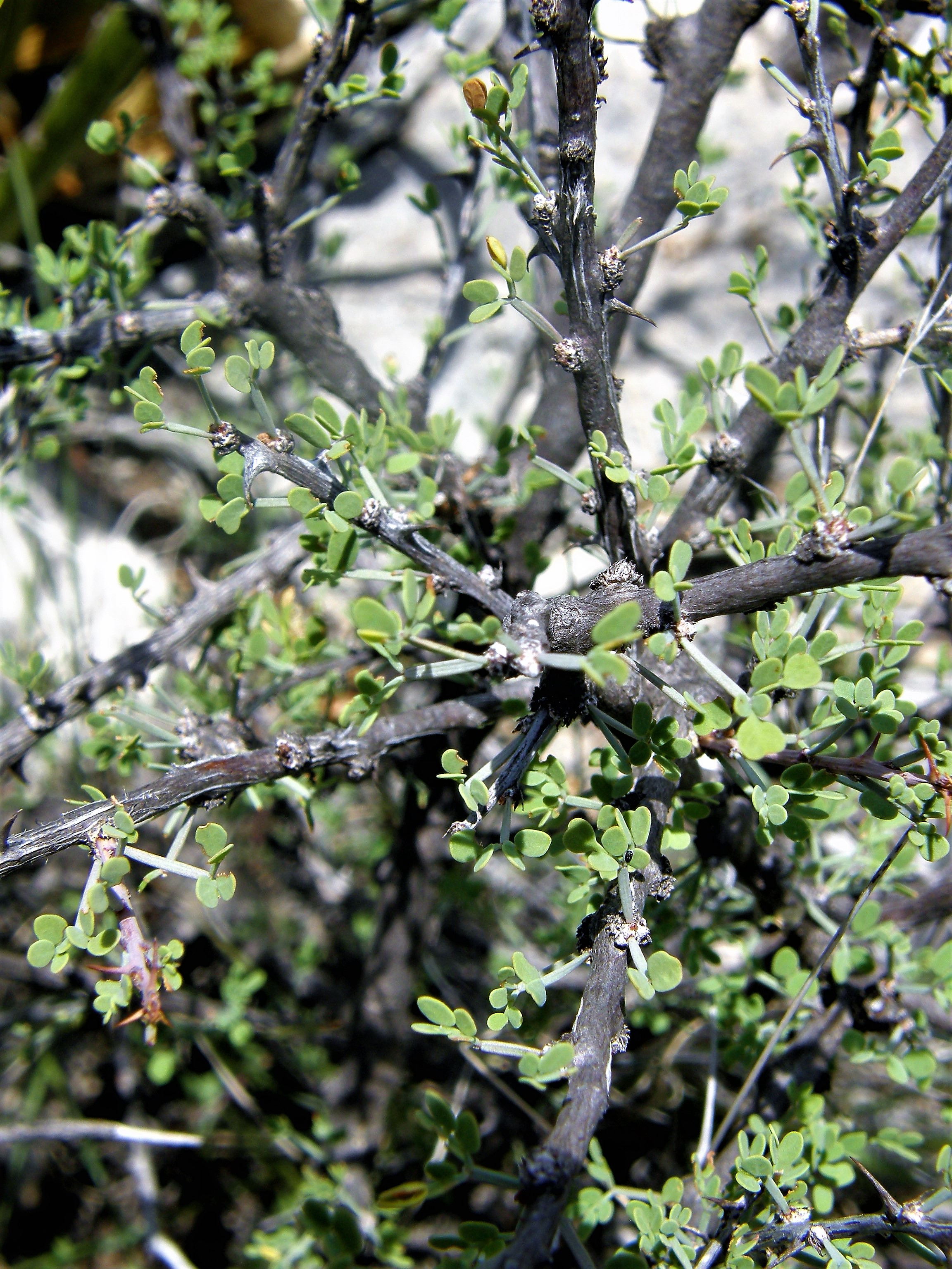
Mimosa turneri
Turner's Mimosa
|
Photographer: E. Wynn Anderson
ID: 0000 0000 0318 2102 (2018-03-12)Copyright © 2018 Wynn Anderson
|
|
INFORMATION PROVIDED WITH THE PHOTO
|
date of photo Aug 18, 2008
latitude 30.02997 longitude 102.68230
View on Google Maps.
location
0.5 mile southwest of main ranch house, Roger's Ranch on Fresnal Creek, 13.6 road (8.7 air) miles south of Longfellow Road junction at US 90, (Brewster County, Texas, US)family
Fabaceae
plant community Chihuahuan Desert scrub at 2853' (870m)notes small 'catclaw' thorned shrub with pink ball-like flowers, common on flat lying pale, blocky, limestone strata above the rim of narrow, steep walled, dry, canyon cut by a intermittent arroyo tributary of Fresnal Creek. A remote area, botanically diverse, but with limited accessibility, known as Hell's Half-acre.keywords: CDR, Chihuahuan Desert, Big Bend
contributor's ID # CDR 266 photo category: Plant - shrub
|
MORE INFORMATION ABOUT THIS PLANT
|
| common names
Turner's Mimosa, Desert Mimosa (photographer)
View all photos in CalPhotos of Mimosa turneri Check Google Images for Mimosa turneri |
|
The photographer's identification Mimosa turneri has not been reviewed. Click here to review or comment on the identification. |
|
Using this photo The thumbnail photo (128x192 pixels) on this page may be freely used for personal or academic purposes without prior permission under the Fair Use provisions of US copyright law as long as the photo is clearly credited with © 2018 Wynn Anderson.
For other uses, or if you have questions, contact E. Wynn Anderson wanderson@UTEP.edu. |
|
|