|
|
click photo for larger file
high resolution: ZOOM browser
view full size

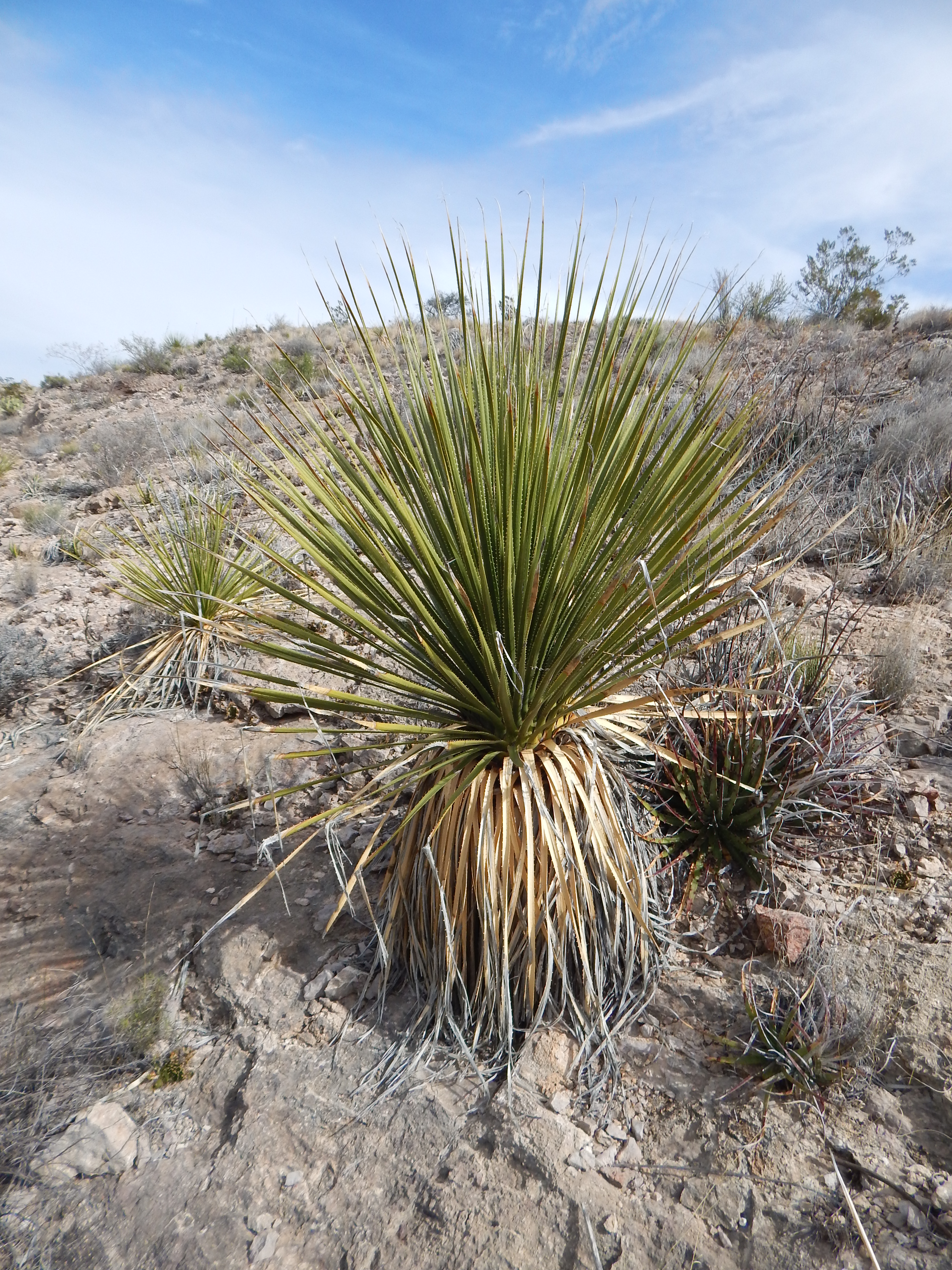
Dasylirion leiophyllum
Smooth Sotol
|
Photographer: E. Wynn Anderson
ID: 0000 0000 0218 1056 (2018-02-15)Copyright © 2018 Wynn Anderson
|
|
INFORMATION PROVIDED WITH THE PHOTO
|
date of photo Mar 7, 2015
latitude 29.31910 longitude 103.65310
View on Google Maps.
location
State Highway TX 170 at intersection with Villa de la Mina Road, 3.0 miles west of Old Terlingua, 1.2 miles east of Mariposa Mine Road (Brewster County, Texas, US)family
Asparagaceae
plant community Chihuahuan Desert scrub at 3120' (950m)notes on exposed gray limestone outcrops forming low hillside with Hechtia, Larrea.keywords: CDR, Chihuahuan Desert
contributor's ID # CDR 88 photo category: Plant - shrub
|
MORE INFORMATION ABOUT THIS PLANT
|
| common names
Smooth Sotol, Desert Spoon (photographer)
View all photos in CalPhotos of Dasylirion leiophyllum Check Google Images for Dasylirion leiophyllum |
|
The photographer's identification Dasylirion leiophyllum has not been reviewed. Click here to review or comment on the identification. |
|
Using this photo The thumbnail photo (128x192 pixels) on this page may be freely used for personal or academic purposes without prior permission under the Fair Use provisions of US copyright law as long as the photo is clearly credited with © 2018 Wynn Anderson.
For other uses, or if you have questions, contact E. Wynn Anderson wanderson@UTEP.edu. |
|
|