|
|
click photo for larger file
high resolution: ZOOM browser
view full size

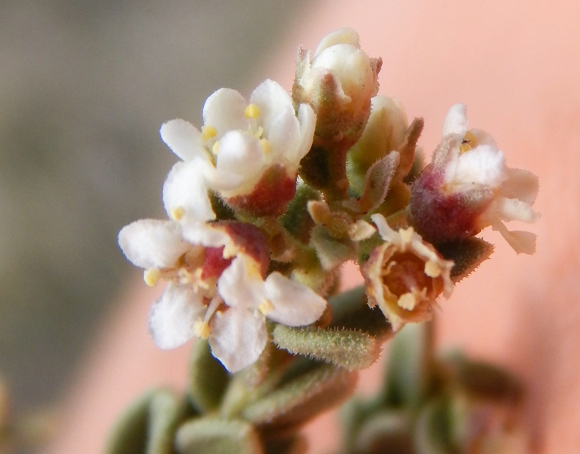
Mortonia scabrella
Rough Mortonia
|
Photographer: E. Wynn Anderson
ID: 0000 0000 0218 1026 (2018-02-14)Copyright © 2018 Wynn Anderson
|
|
INFORMATION PROVIDED WITH THE PHOTO
|
date of photo Mar 7, 2015
latitude 29.32616 longitude 103.54908
View on Google Maps.
location
TX Hiway 170, 0.3 mile east of Terlingua Creek crossing, 1 mile west of junction with TX 118 at Study Butte (Brewster County, Texas, US)family
Asteraceae
plant community Chihuahuan Desert gyp scrub at 2550'notes on low badland slopes and drainage rills in fractured gypseous, shaley Cretaceous limestone with Stenandrium barbatum, Amsonia longiflora, Ariocarpus fissuratus, Echinocactus horizonthalonius, Nama havardii, Thymophylla acerosa, Dalea wrightii, Polygala macradenia, Nerisyrenia camporum.keywords: CDR, Chihuahuan Desert, Big Bend
contributor's ID # CDR 32 photo category: Plant - shrub
|
MORE INFORMATION ABOUT THIS PLANT
|
| common names
Rough Mortonia, Sandpaper Saddlebush (photographer)
View all photos in CalPhotos of Mortonia scabrella Check Google Images for Mortonia scabrella |
|
The photographer's identification Mortonia scabrella has not been reviewed. Click here to review or comment on the identification. |
|
Using this photo The thumbnail photo (128x192 pixels) on this page may be freely used for personal or academic purposes without prior permission under the Fair Use provisions of US copyright law as long as the photo is clearly credited with © 2018 Wynn Anderson.
For other uses, or if you have questions, contact E. Wynn Anderson wanderson@UTEP.edu. |
|
|