|
|
click photo for larger file
high resolution: ZOOM browser
view full size

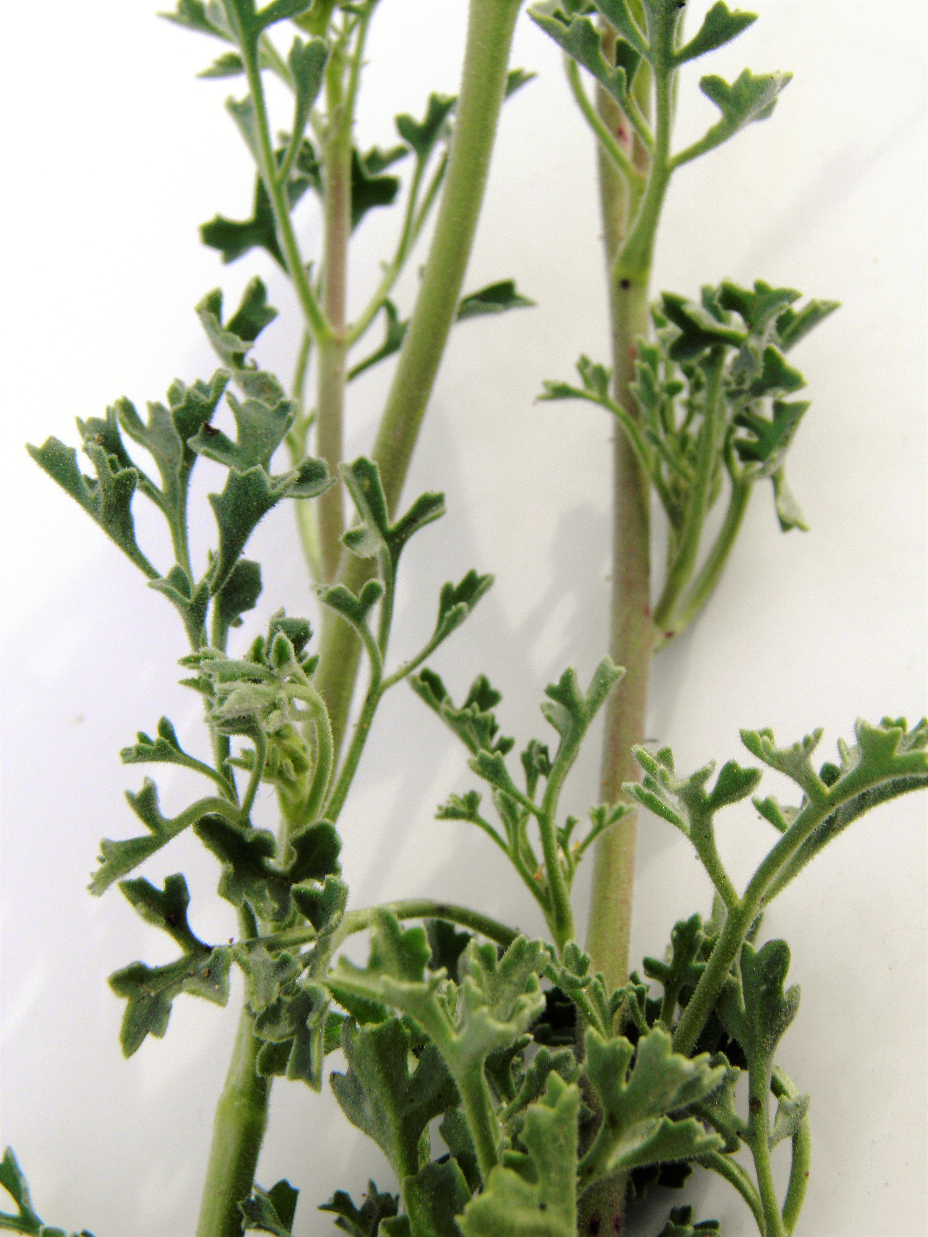
Perityle vaseyi
Vasey's Rockdaisy
|
Photographer: E. Wynn Anderson
ID: 0000 0000 0218 0895 (2018-02-13)Copyright © 2018 Wynn Anderson
|
|
INFORMATION PROVIDED WITH THE PHOTO
|
date of photo Mar 7, 2015
latitude 29.26674 longitude 103.52742
View on Google Maps.
location
Old Maverick Road, graded road to Santa Elena Canyon, 2.7 miles south of Maverick Junction and paved highway east to Panther Junction, west to TX 118 & Study Butte, Big Bend National Park (Brewster County, Texas, US)family
Asteraceae
plant community Chihuahuan Desert creosote scrub at 2648' (807m)notes on silty volcanic soil and surface lag gravels on flat alluvial plainkeywords: CDR, Chihuahuan Desert
contributor's ID # CDR 1056 photo category: Plant - annual/perennial
|
MORE INFORMATION ABOUT THIS PLANT
|
| common names
Vasey's Rockdaisy (photographer)
View all photos in CalPhotos of Perityle vaseyi Check Google Images for Perityle vaseyi |
|
The photographer's identification Perityle vaseyi has not been reviewed. Click here to review or comment on the identification. |
|
Using this photo The thumbnail photo (128x192 pixels) on this page may be freely used for personal or academic purposes without prior permission under the Fair Use provisions of US copyright law as long as the photo is clearly credited with © 2018 Wynn Anderson.
For other uses, or if you have questions, contact E. Wynn Anderson wanderson@UTEP.edu. |
|
|