|
|
click photo for larger file
high resolution: ZOOM browser
view full size

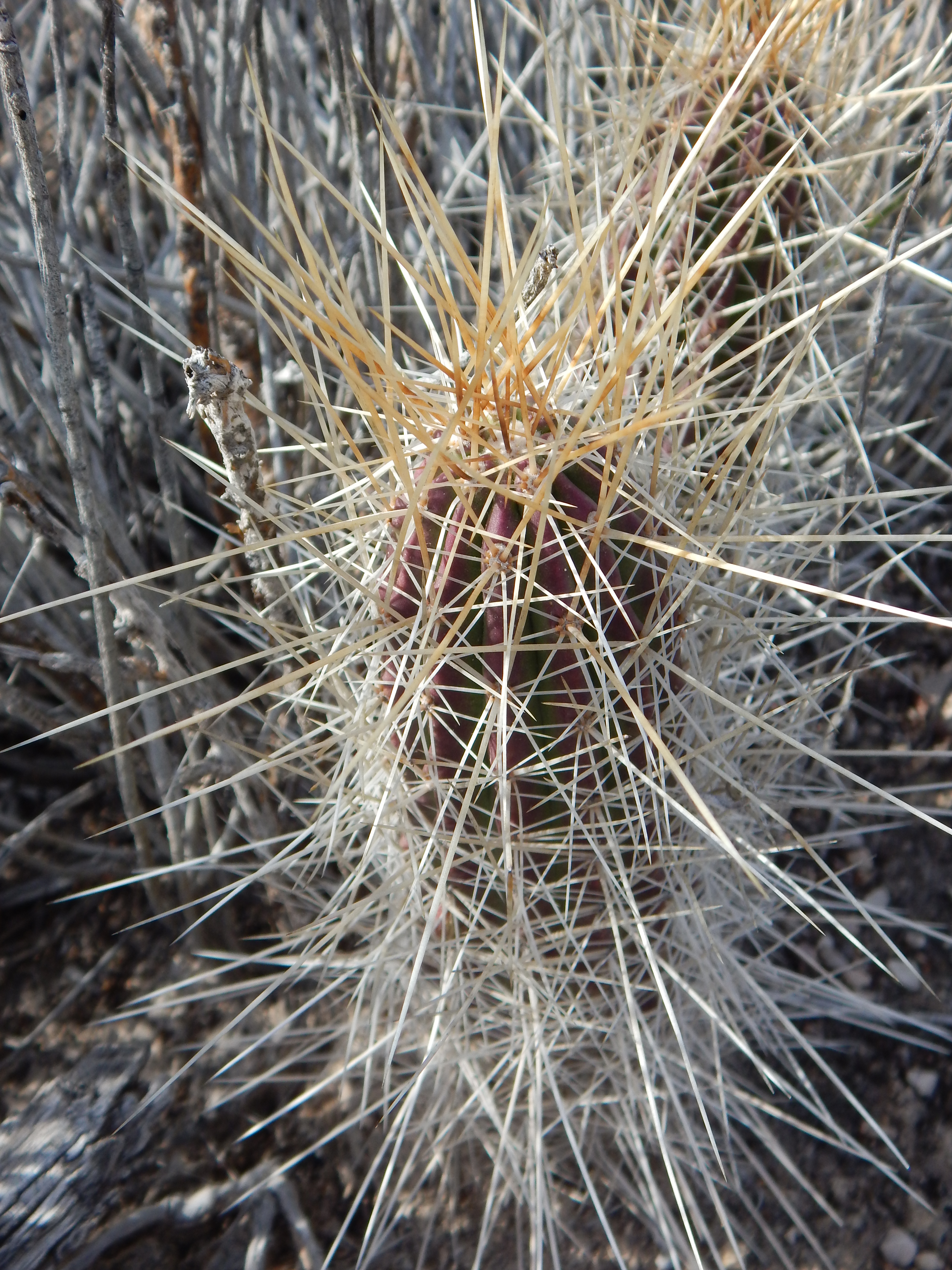
Echinocereus enneacanthus var. enneacanthus
|
Photographer: E. Wynn Anderson
ID: 0000 0000 0218 0510 (2018-02-09)Copyright © 2018 Wynn Anderson
|
|
INFORMATION PROVIDED WITH THE PHOTO
|
date of photo Mar 6, 2015
latitude 29.48492 longitude 102.86068
View on Google Maps.
location
State HighwayTX FM 2627, 3.4 miles northwest of La Linda bridge, parking area 9, Heath Canyon, Black Gap Wildlife Management Area (Brewster County, Texas, US)family
Cactaceae
plant community Chihuahuan Desert scrub at 2005' (611m)notes in white limestone gravels on low hillside slope above south edge of large arroyo in Heath Canyon.keywords: CDR, Chihuahuan Desert
contributor's ID # CDR 1576 photo category: Plant - shrub
|
MORE INFORMATION ABOUT THIS PLANT
|
| View all photos in CalPhotos of Echinocereus enneacanthus var. enneacanthus Check Google Images for Echinocereus enneacanthus var. enneacanthus |
|
The photographer's identification Echinocereus enneacanthus var. enneacanthus has not been reviewed. Click here to review or comment on the identification. |
|
Using this photo The thumbnail photo (128x192 pixels) on this page may be freely used for personal or academic purposes without prior permission under the Fair Use provisions of US copyright law as long as the photo is clearly credited with © 2018 Wynn Anderson.
For other uses, or if you have questions, contact E. Wynn Anderson wanderson@UTEP.edu. |
|
|