|
|
click photo for larger file
high resolution: ZOOM browser
view full size

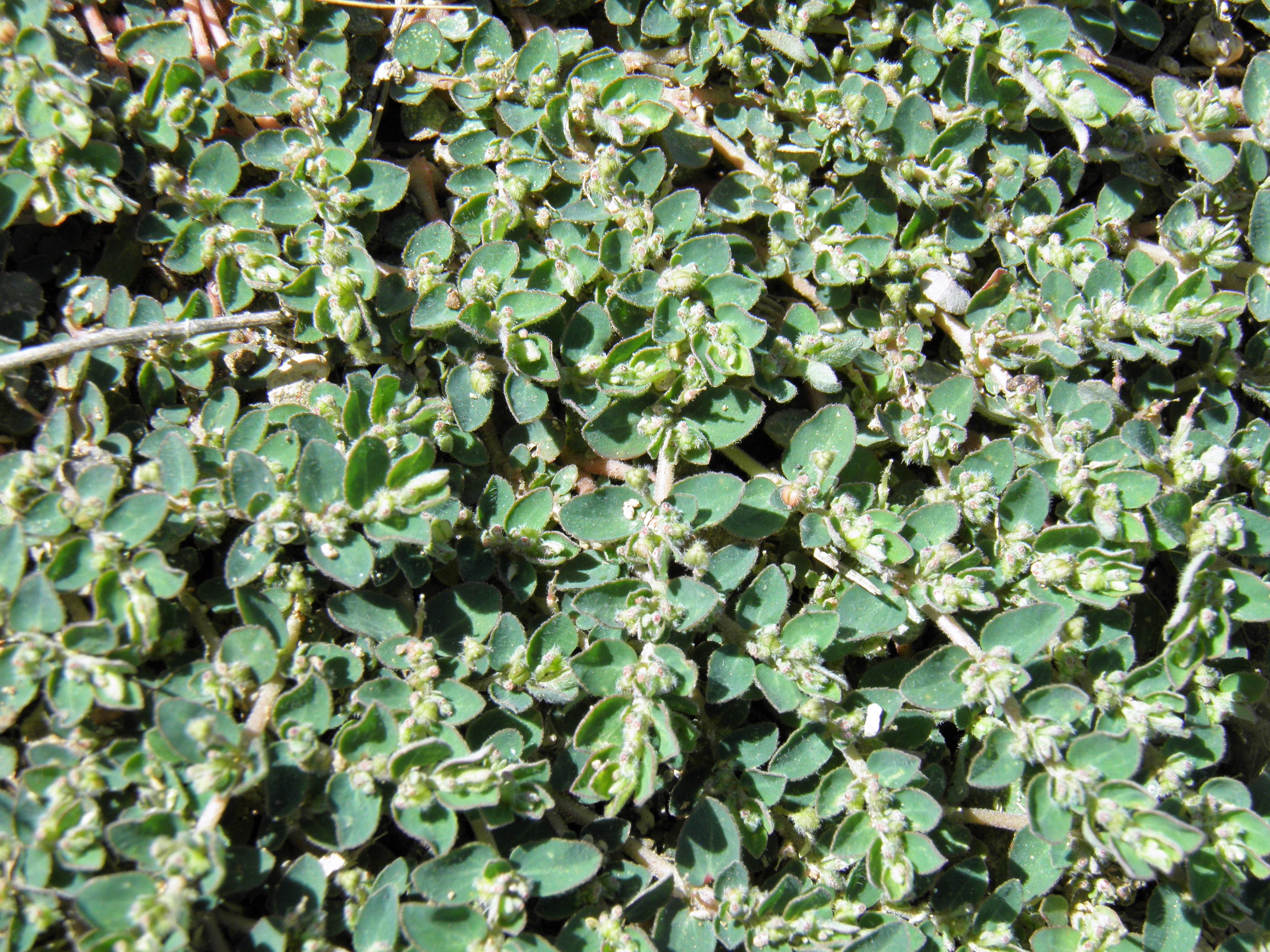
Chamaesyce prostrata
Prostrate Sandmat
|
Photographer: E. Wynn Anderson
ID: 0000 0000 0118 2644 (2018-01-30)Copyright © 2018 Wynn Anderson
|
|
INFORMATION PROVIDED WITH THE PHOTO
|
date of photo Sep 25, 2016
latitude 31.80733 longitude 107.45497
View on Google Maps.
location
State Highway NM 9, mm 97, 11.1 miles east of junction with NM 11 in Columbus, 2.9 miles west of escarpment breaks at old Arena siding (Luna County, New Mexico, US)family
Euphorbiaceae
plant community Chihuahuan Desert creosote-tarbush scrub at 4488' (1368m)notes annuals at roadside in reddish sandy soil and calcareous gravels.keywords: CDR, Chihuahuan Desert
contributor's ID # CDR 270 photo category: Plant - annual/perennial
|
MORE INFORMATION ABOUT THIS PLANT
|
| common names
Prostrate Sandmat (photographer)
View all photos in CalPhotos of Chamaesyce prostrata Check Google Images for Chamaesyce prostrata |
|
The photographer's identification Chamaesyce prostrata has not been reviewed. Click here to review or comment on the identification. |
|
Using this photo The thumbnail photo (128x192 pixels) on this page may be freely used for personal or academic purposes without prior permission under the Fair Use provisions of US copyright law as long as the photo is clearly credited with © 2018 Wynn Anderson.
For other uses, or if you have questions, contact E. Wynn Anderson wanderson@UTEP.edu. |
|
|