|
|
click photo for larger file
high resolution: ZOOM browser
view full size

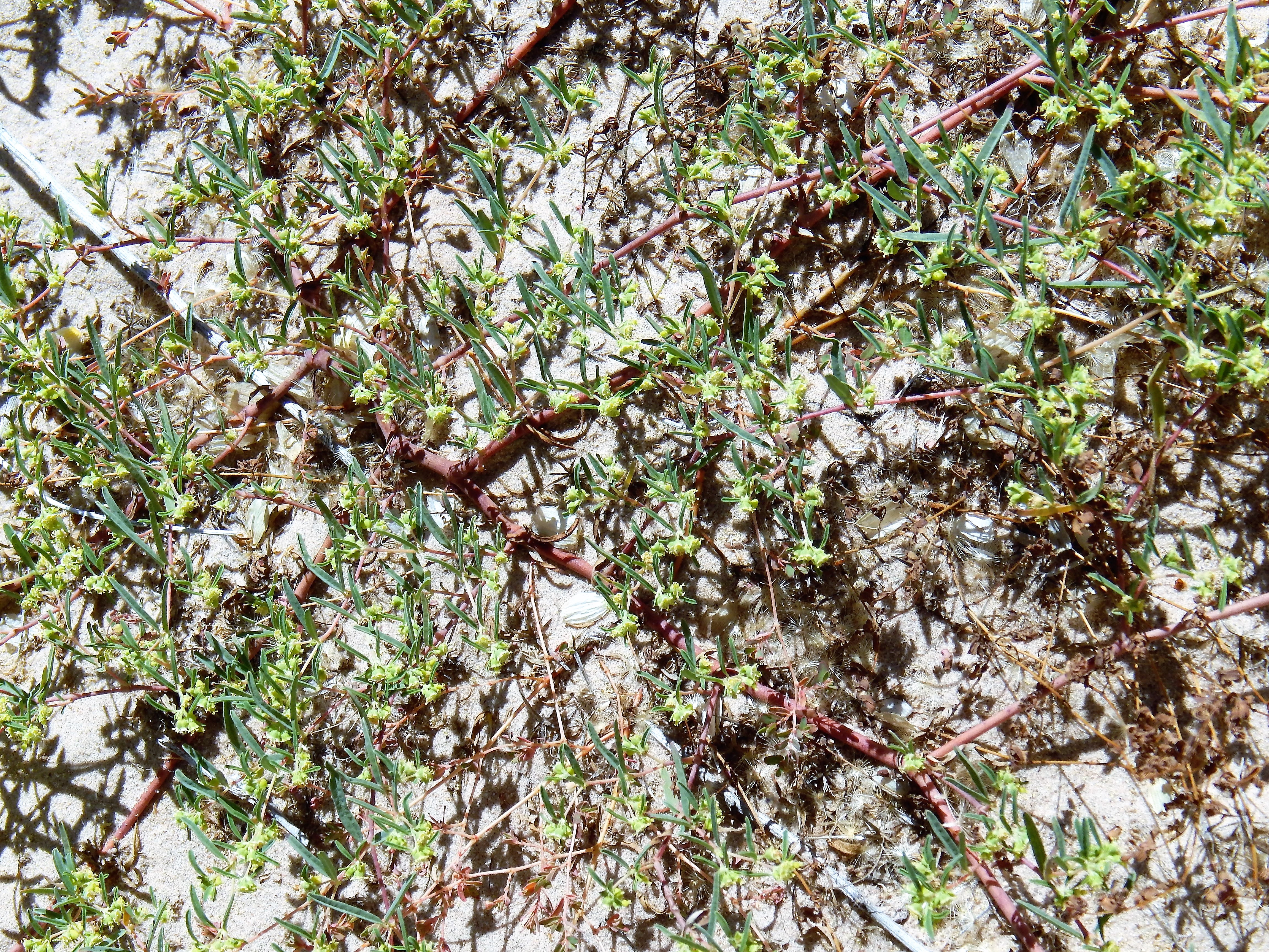
Chamaesyce parryi
Parry's Sandmat
|
Photographer: E. Wynn Anderson
ID: 0000 0000 0118 1895 (2018-01-23)Copyright © 2018 Wynn Anderson
|
|
INFORMATION PROVIDED WITH THE PHOTO
|
date of photo Oct 2, 2013
latitude 31.39520 longitude 106.46270
View on Google Maps.
location
Federal Highway MX 45, km 327, 3.8 miles north of paved road west into Samalayuca, 1.5 miles south of Concrete plant & quarries (Mcp. Juarez, Chihuahua, Mexico)family
Euphorbiaceae
plant community Chihuahuan Desert sand scrub on semi-stabilized sand dunes at 4115' (1254m)notes flat, trailing, mat-like annuals on pale reddish quartz sands of colorful an outlier of low semi-stabilized dunes, north of the active dune field in the Médanos de Samalayuca Natural Protected Area.keywords: CDR, Chihuahuan Desert, Samalayuca
contributor's ID # CDR 24 photo category: Plant - annual/perennial
|
MORE INFORMATION ABOUT THIS PLANT
|
| common names
Parry's Sandmat, Parry Spurge (photographer)
View all photos in CalPhotos of Chamaesyce parryi Check Google Images for Chamaesyce parryi |
|
The photographer's identification Chamaesyce parryi has not been reviewed. Click here to review or comment on the identification. |
|
Using this photo The thumbnail photo (128x192 pixels) on this page may be freely used for personal or academic purposes without prior permission under the Fair Use provisions of US copyright law as long as the photo is clearly credited with © 2018 Wynn Anderson.
For other uses, or if you have questions, contact E. Wynn Anderson wanderson@UTEP.edu. |
|
|