|
|
click photo for larger file
high resolution: ZOOM browser
view full size

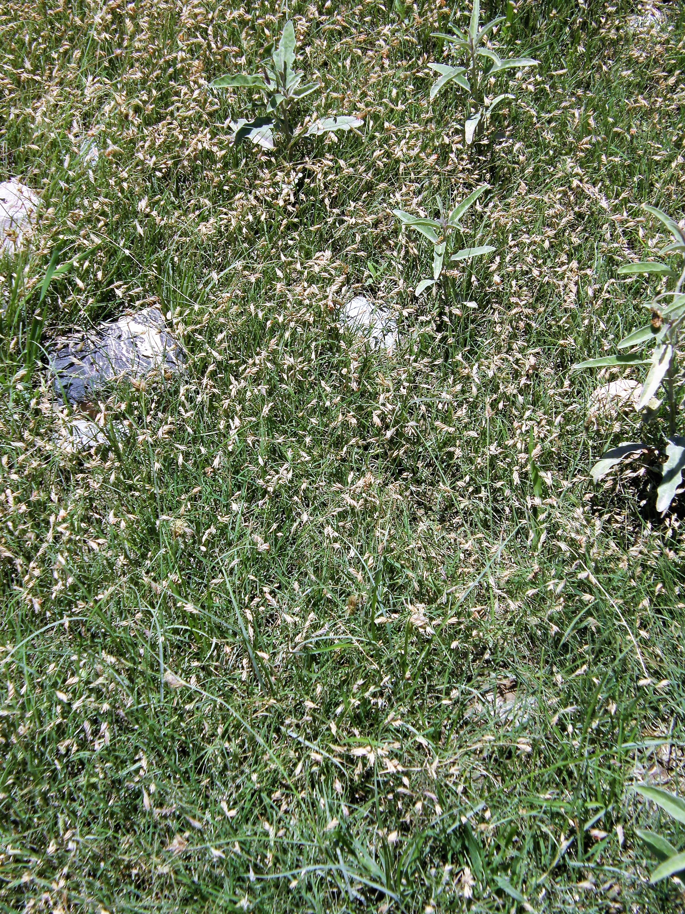
Bouteloua dactyloides
Zacate Búfalo
|
Photographer: E. Wynn Anderson
ID: 0000 0000 0118 0468 (2018-01-11)Copyright © 2018 Wynn Anderson
|
|
INFORMATION PROVIDED WITH THE PHOTO
|
date of photo Jul 12, 2013
latitude 24.88216 longitude 100.74565
View on Google Maps.
location
rural road to Carbonara, 5.7 miles south of Aquiles Serdan (La Hediondilla), 5.4 miles north of La Carbonara,17.7 road miles southwest of San Rafael on MX 57 highway (Mcp. Galeana, Nuevo Leon, Mexico)family
Poaceae
plant community Chihuahuan desert scrub, Larrea-Flourensia-Koeberlina community at 3016' (1870 m). elev.notes grass on flat plains of a large bolson (Los Llanos), in silty, slightly saline, gyp-calcareous clay soil, along the margin between a long abandoned agricultural area and undisturbed native scrub.keywords: CDR, Chihuahuan Desert
contributor's ID # CDR 702 photo category: Plant - annual/perennial
|
MORE INFORMATION ABOUT THIS PLANT
|
| common names
Zacate Búfalo, Buffalograss (photographer)
View all photos in CalPhotos of Bouteloua dactyloides Check Google Images for Bouteloua dactyloides |
|
The photographer's identification Bouteloua dactyloides has not been reviewed. Click here to review or comment on the identification. |
|
Using this photo The thumbnail photo (128x192 pixels) on this page may be freely used for personal or academic purposes without prior permission under the Fair Use provisions of US copyright law as long as the photo is clearly credited with © 2018 Wynn Anderson.
For other uses, or if you have questions, contact E. Wynn Anderson wanderson@UTEP.edu. |
|
|