|
|
click photo for larger file
high resolution: ZOOM browser
view full size

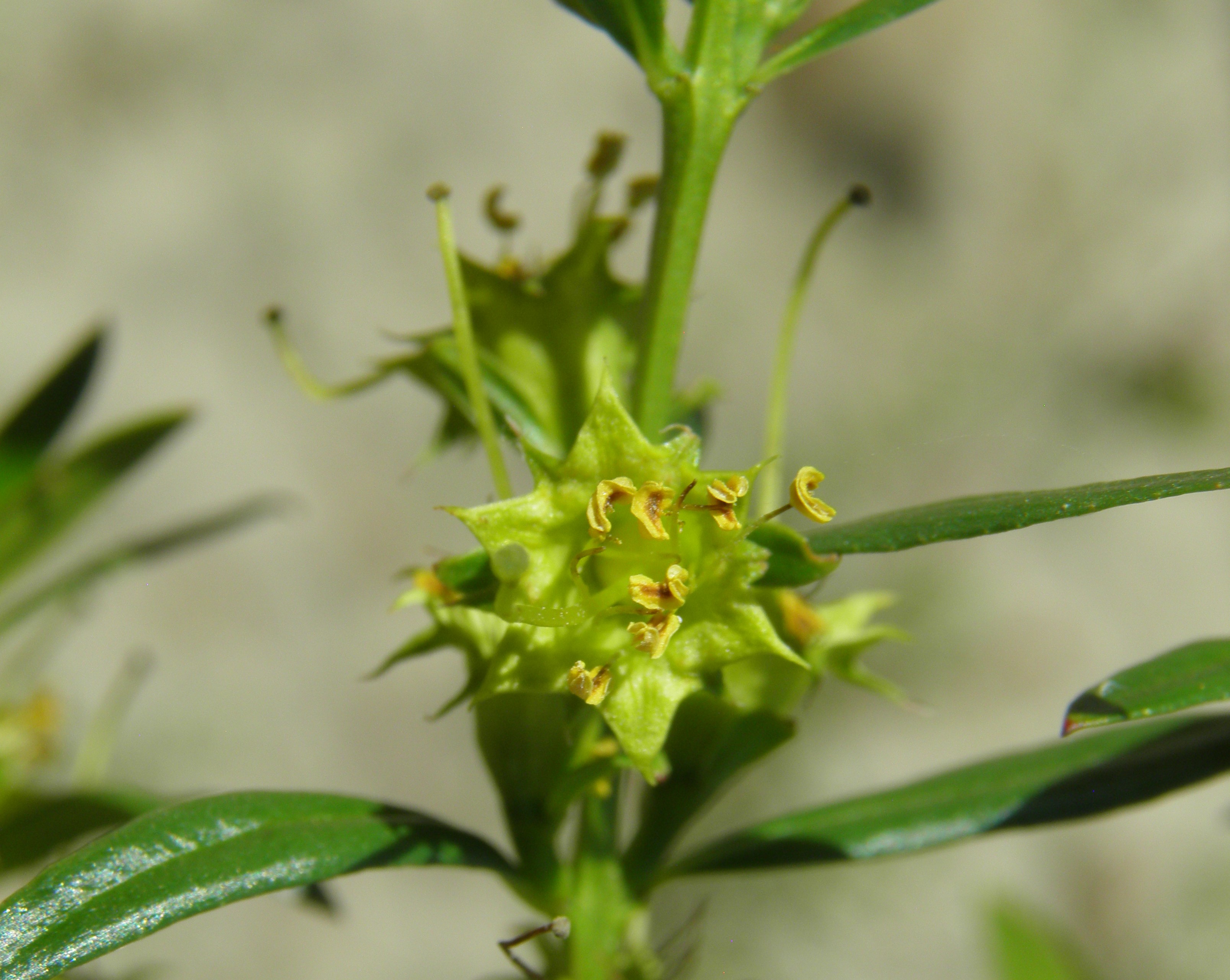
Heimia salicifolia
Shrubby Yellowcrest
|
Photographer: E. Wynn Anderson
ID: 0000 0000 0124 0118 (2024-01-03)Copyright © 2024 Wynn Anderson
|
|
INFORMATION PROVIDED WITH THE PHOTO
|
date of photo Nov 28, 2016
latitude 23.28090 longitude 110.03670
View on Google Maps.
location
road crossing a wide sandy wash bottom of the Rio Venancio, 5.3 miles south of side road east to El Barranco, 9.5 miles east of MX 19 in El Pescadero (Municpio La Paz, Baja California Sur, Mexico)family
Lythraceae
plant community in small granitic pea gravels and sand along a wide sandy wash, with a river riparian community at 200 meters (657 ft)notes plant at mouth of side wash along banks of the Rio Venancio.keywords: Baja, BCs, BCSur
contributor's ID # BCs 420 photo category: Plant - shrub
|
MORE INFORMATION ABOUT THIS PLANT
|
| common names
Shrubby Yellowcrest (photographer)
View all photos in CalPhotos of Heimia salicifolia Check Google Images for Heimia salicifolia |
|
The photographer's identification Heimia salicifolia has not been reviewed. Click here to review or comment on the identification. |
|
Using this photo The thumbnail photo (128x192 pixels) on this page may be freely used for personal or academic purposes without prior permission under the Fair Use provisions of US copyright law as long as the photo is clearly credited with © 2024 Wynn Anderson.
For other uses, or if you have questions, contact E. Wynn Anderson wanderson@UTEP.edu. |
|
|