|
|
click photo for larger file
high resolution: ZOOM browser
view full size

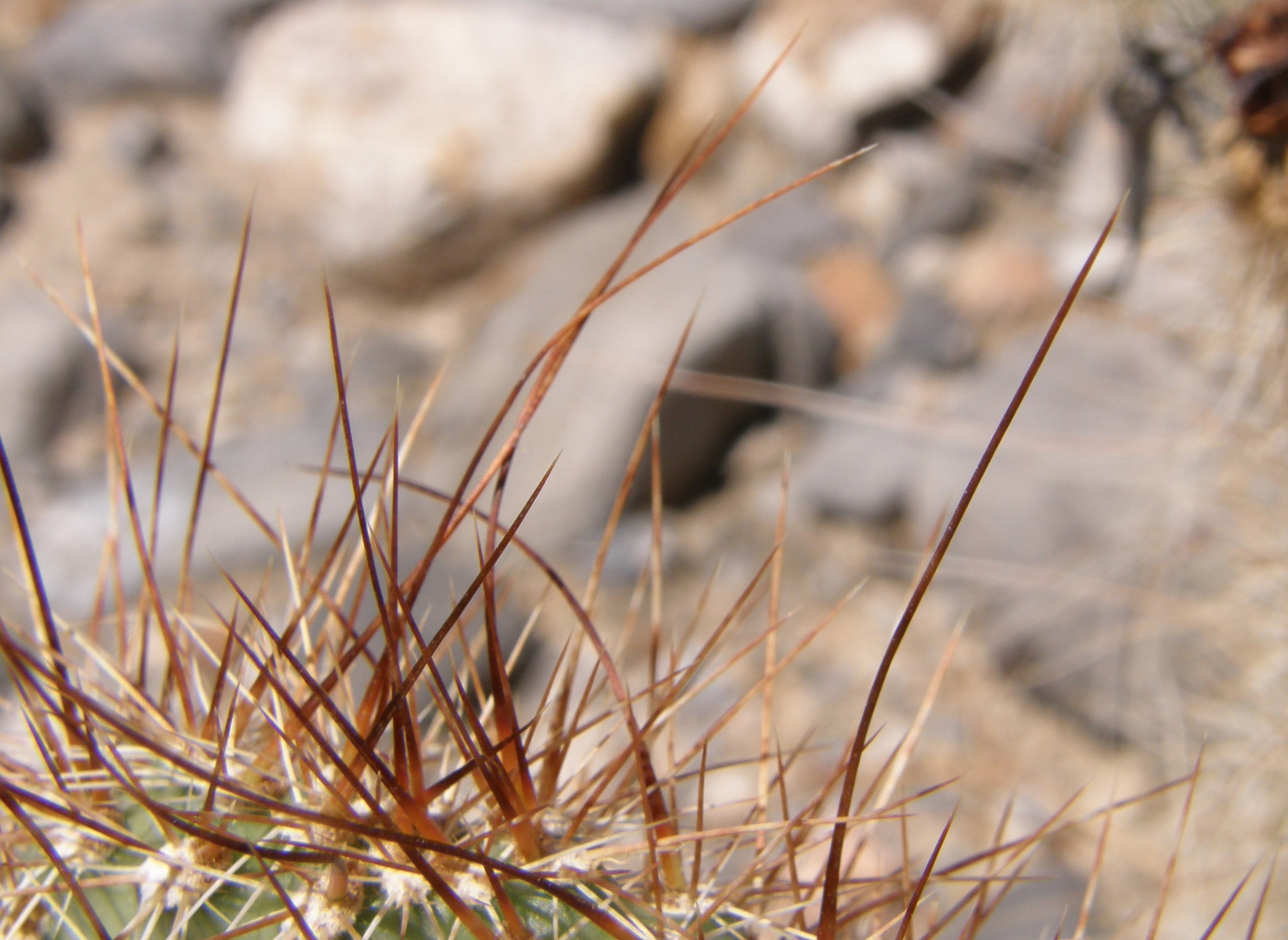
Opuntia erinacea
Grizzlybear Prickly Pear
|
Photographer: E. Wynn Anderson
ID: 0000 0000 1122 0854 (2022-11-18)Copyright © 2022 Wynn Anderson
|
|
INFORMATION PROVIDED WITH THE PHOTO
|
date of photo Jun 13, 2013
latitude 36.47340 longitude 114.95450
View on Google Maps.
location
US 93 (Great Basin Highway), 14.3 miles north of exit 64 off Interstate 15, 23 miles south of junction with State highway NV 168 in Coyote Springs (Clark County, Nevada, US)family
Cactaceae
synonyms Opuntia polyacantha var. erinacea
plant community on low to flat, gravelly, desertic intermontane basin surface of calcareous sandy soil and gravels supporting a Mohave Desert scrub community at 2780 feet (847m)contributor's ID # NV 33a photo category: Plant - shrub
|
ADDITIONAL TAXONOMIC NOTES FOR THIS PHOTO
|
| name change notes Feb 19 2025: Plants of the World (POTW) update via script. Previous name: Opuntia polyacantha var. erinacea ; updated name: Opuntia erinacea |
MORE INFORMATION ABOUT THIS PLANT
|
| common names
Grizzlybear Prickly Pear (photographer)
View all photos in CalPhotos of Opuntia erinacea Check Google Images for Opuntia erinacea |
|
The photographer's identification Opuntia erinacea has not been reviewed. Sign in to review or comment on this photo |
|
Using this photo The thumbnail photo (128x192 pixels) on this page may be freely used for personal or academic purposes without prior permission under the Fair Use provisions of US copyright law as long as the photo is clearly credited with © 2022 Wynn Anderson.
For other uses, or if you have questions, contact E. Wynn Anderson wanderson@UTEP.edu. |
|
|