|
|
click photo for larger file
high resolution: ZOOM browser
view full size

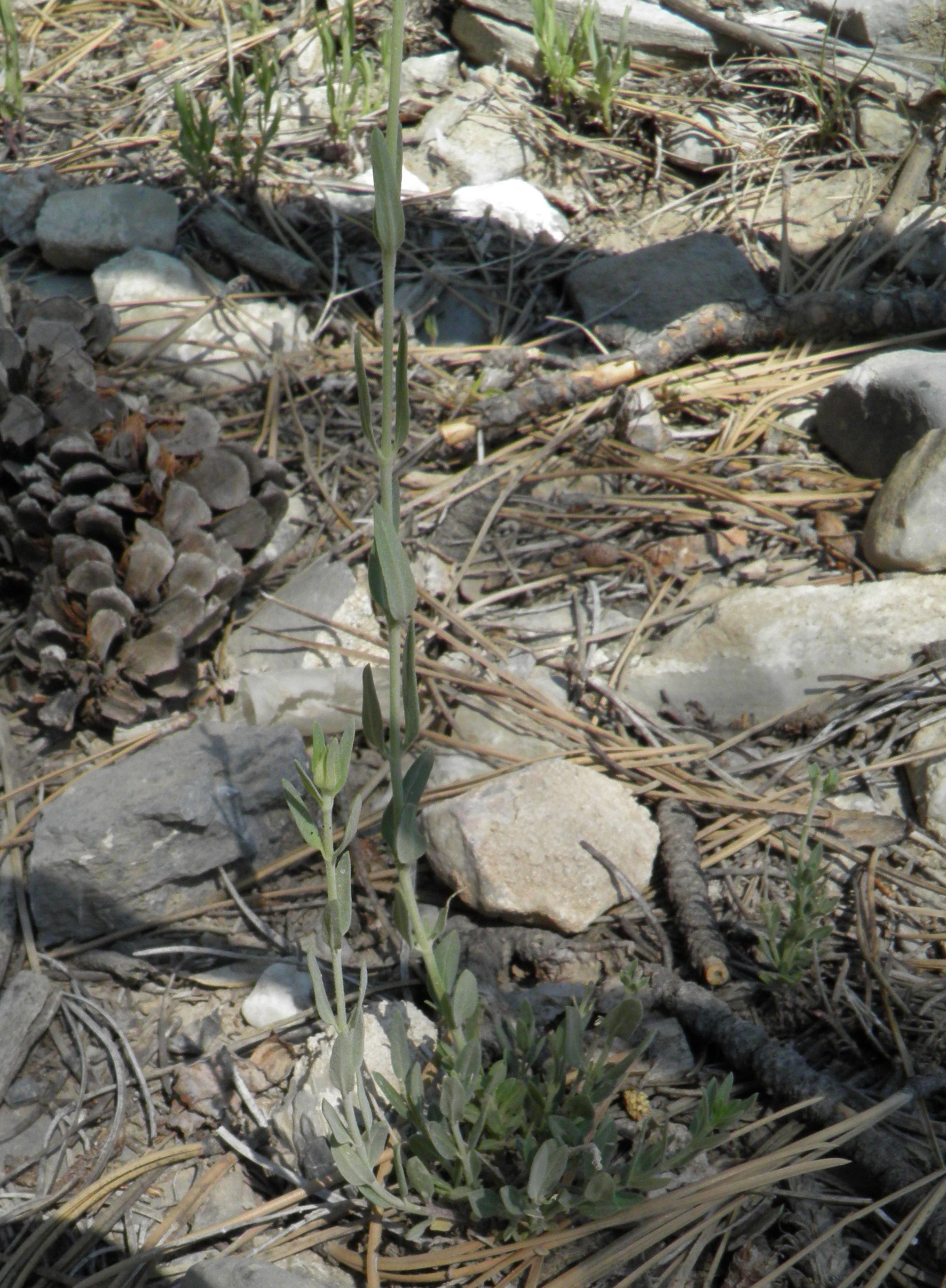
Salvia dorrii var. clokeyi
Clokey's Mountain Sage
|
Photographer: E. Wynn Anderson
ID: 0000 0000 1122 0128 (2022-11-04)Copyright © 2022 Wynn Anderson
|
|
INFORMATION PROVIDED WITH THE PHOTO
|
date of photo Jun 28, 2013
latitude 36.30667 longitude 115.67801
View on Google Maps.
location
along Upper Bristlecone Trail, 1.1 miles west from trailhead off NV 156 (Lee Canyon Rd.), to just past trail fork north to View Point, Toiyabe Nat'l Forest, Spring Mts. (Clark County, Nevada, US)family
Lamiaceae
plant community calcareous soil and colluvial gravels on limestone hillside slope in a montane conifer forest community at 8645 feet (2635 meters)notes An endemic variety found only in Spring Mts. and Sheep Range in Clark Co. NV NOTE: GPS data and elevation info given above is for trailhead beginning of a 1.1 mile traverse only. Turn around and return point estimated at 36.29939,-115.69343 elevation 9210'(2807m). No GPS readings taken for individual plant photo locations along the trailcontributor's ID # NV 257 photo category: Plant - annual/perennial
|
MORE INFORMATION ABOUT THIS PLANT
|
| common names
Clokey's Mountain Sage (photographer)
View all photos in CalPhotos of Salvia dorrii var. clokeyi Check Google Images for Salvia dorrii var. clokeyi |
|
The photographer's identification Salvia dorrii var. clokeyi has not been reviewed. Sign in to review or comment on this photo |
|
Using this photo The thumbnail photo (128x192 pixels) on this page may be freely used for personal or academic purposes without prior permission under the Fair Use provisions of US copyright law as long as the photo is clearly credited with © 2022 Wynn Anderson.
For other uses, or if you have questions, contact E. Wynn Anderson wanderson@UTEP.edu. |
|
|