|
|
click photo for larger file
high resolution: ZOOM browser
view full size

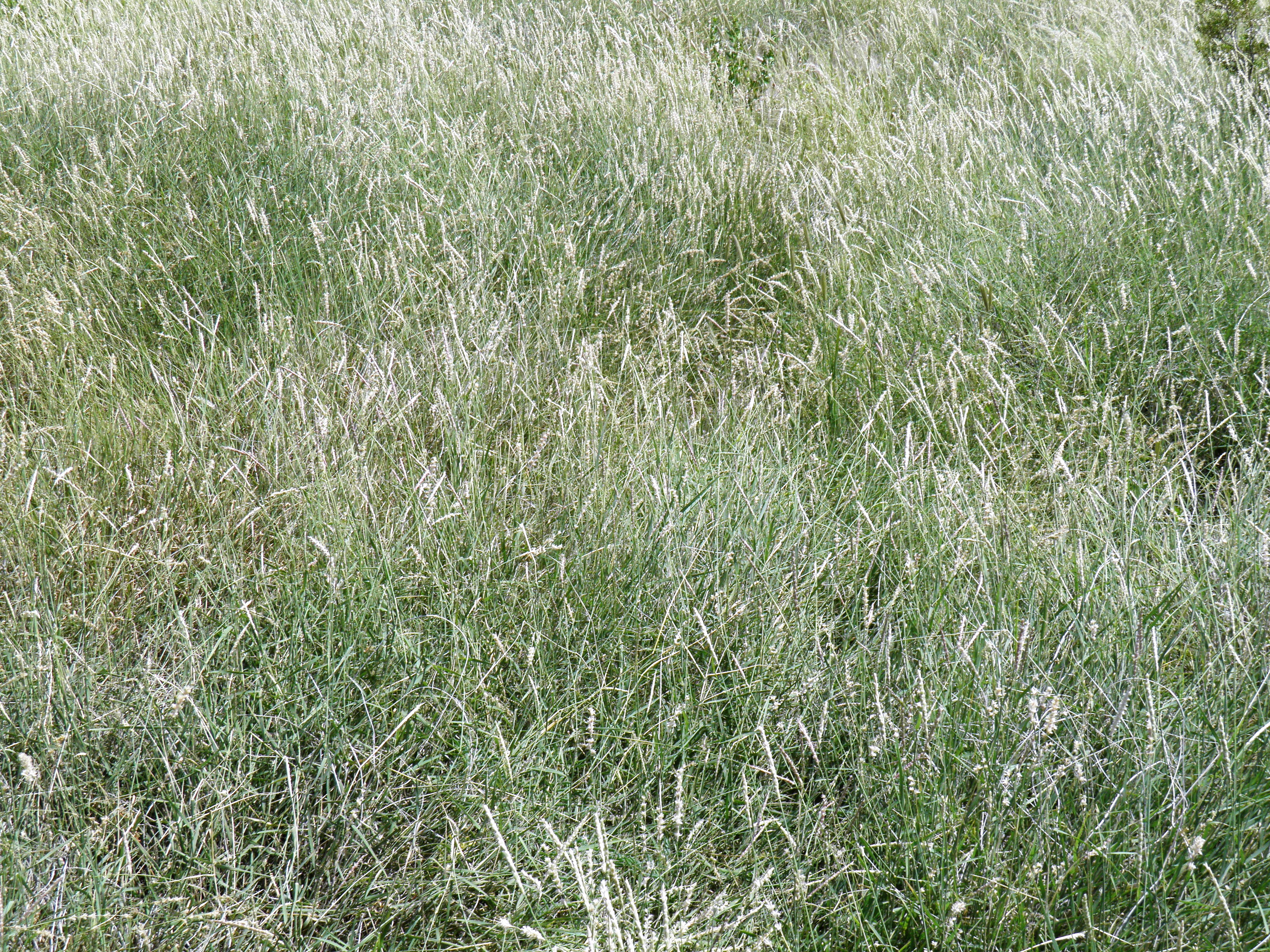
Pleuraphis mutica
Tabosa Grass
|
Photographer: E. Wynn Anderson
ID: 0000 0000 0918 1369 (2018-09-10)Copyright © 2018 Wynn Anderson
|
|
INFORMATION PROVIDED WITH THE PHOTO
|
date of photo Sep 15, 2017
latitude 32.27760 longitude 105.13510
View on Google Maps.
location
State Highway NM 506, 0.3 mile southeast of junction with County Road G-25, 0.4 mile southwest of junction with GO-07, crossing Jernigan Wash, Crow Flats (Otero County, New Mexico, US)family
Poaceae
plant community Chihuahuan Desert semi-arid grassland remnant in Larrea scrub at 3833' 1170m)Desertnotes in silty soil of a shallow drainage course at lower end of wide braided sheet drainage terminating Jernigan Wash onto the Crow Flats plain.keywords: CDR, Chihuahuan Desert
contributor's ID # CDR 224 photo category: Plant - annual/perennial
|
MORE INFORMATION ABOUT THIS PLANT
|
| common names
Tabosa Grass (photographer)
View all photos in CalPhotos of Pleuraphis mutica Check Google Images for Pleuraphis mutica |
|
The photographer's identification Pleuraphis mutica has not been reviewed. Sign in to review or comment on this photo |
|
Using this photo The thumbnail photo (128x192 pixels) on this page may be freely used for personal or academic purposes without prior permission under the Fair Use provisions of US copyright law as long as the photo is clearly credited with © 2018 Wynn Anderson.
For other uses, or if you have questions, contact E. Wynn Anderson wanderson@UTEP.edu. |
|
|