|
|
click photo for larger file
high resolution: ZOOM browser
view full size

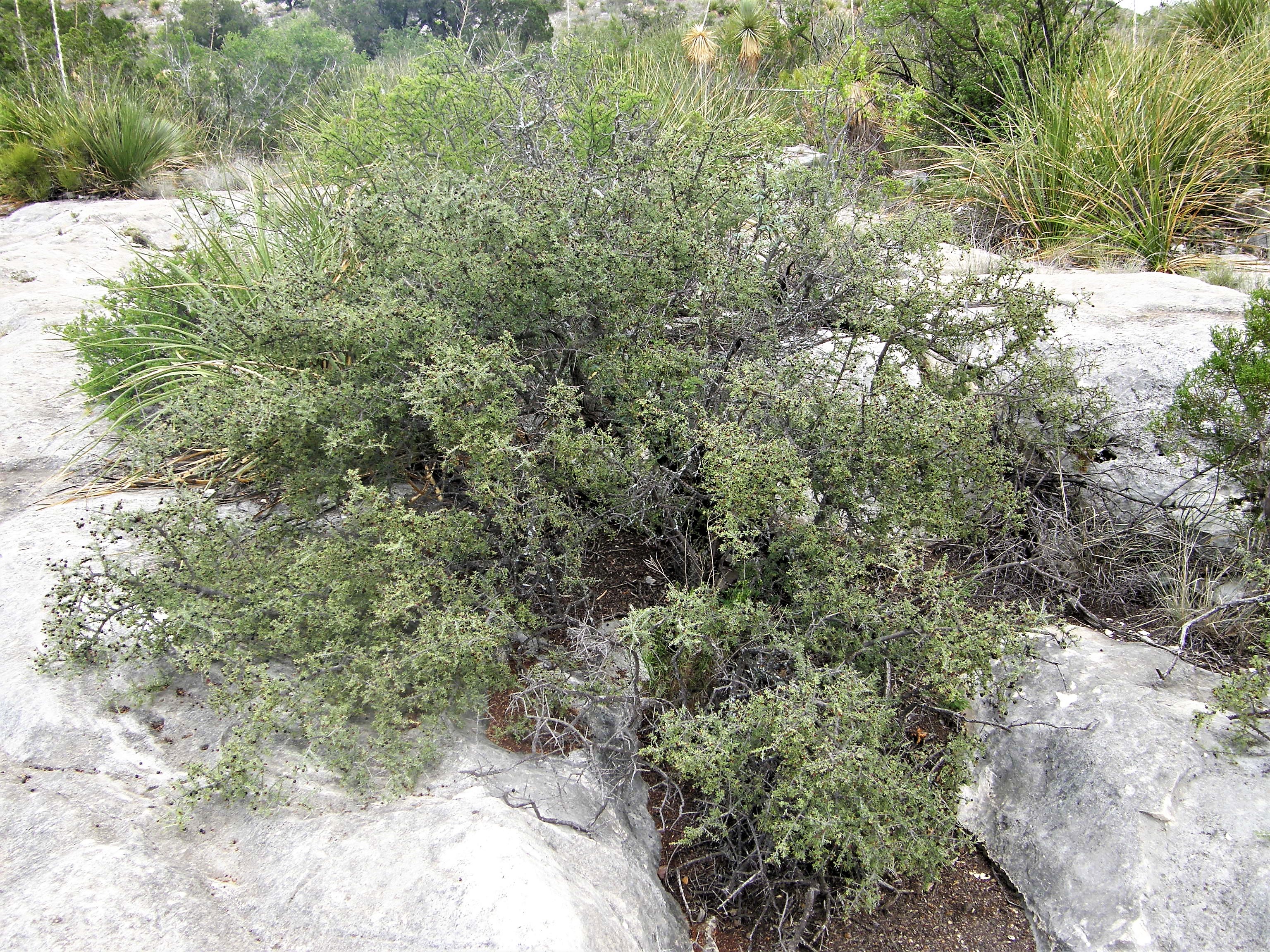
Condalia warnockii var. warnockii
Warnock
|
Photographer: E. Wynn Anderson
ID: 0000 0000 0318 3072 (2018-03-18)Copyright © 2018 Wynn Anderson
|
|
INFORMATION PROVIDED WITH THE PHOTO
|
date of photo Mar 18, 2008
latitude 30.09250 longitude 102.67140
View on Google Maps.
location
rural unpaved ranch road, arroyo crossing, 5.7 miles north of side road west to Roger's Ranch on Fresnal Creek, 6.3 road miles south of Longfellow Road junction at US 90 (Brewster County, Texas, US)family
Rhamnaceae
plant community juniper-oak semi riparian woodland in Chihuahuan Desert scrub at 3198' (975m)notes shrub with sharply armed terminal branchlets along arroyo course in white limestone gravels, boulders and exposed low bedrock outcrops, with oak, walnut, mesquite and Dasylirionkeywords: CDR, Chihuahuan Desert, Big Bend
contributor's ID # CDR 361 photo category: Plant - shrub
|
MORE INFORMATION ABOUT THIS PLANT
|
| common names
Warnock, S Snakwood, Mexican Crucillo (photographer)
View all photos in CalPhotos of Condalia warnockii var. warnockii Check Google Images for Condalia warnockii var. warnockii |
|
The photographer's identification Condalia warnockii var. warnockii has not been reviewed. Sign in to review or comment on this photo |
|
Using this photo The thumbnail photo (128x192 pixels) on this page may be freely used for personal or academic purposes without prior permission under the Fair Use provisions of US copyright law as long as the photo is clearly credited with © 2018 Wynn Anderson.
For other uses, or if you have questions, contact E. Wynn Anderson wanderson@UTEP.edu. |
|
|