|
|
click photo for larger file
high resolution: ZOOM browser
view full size

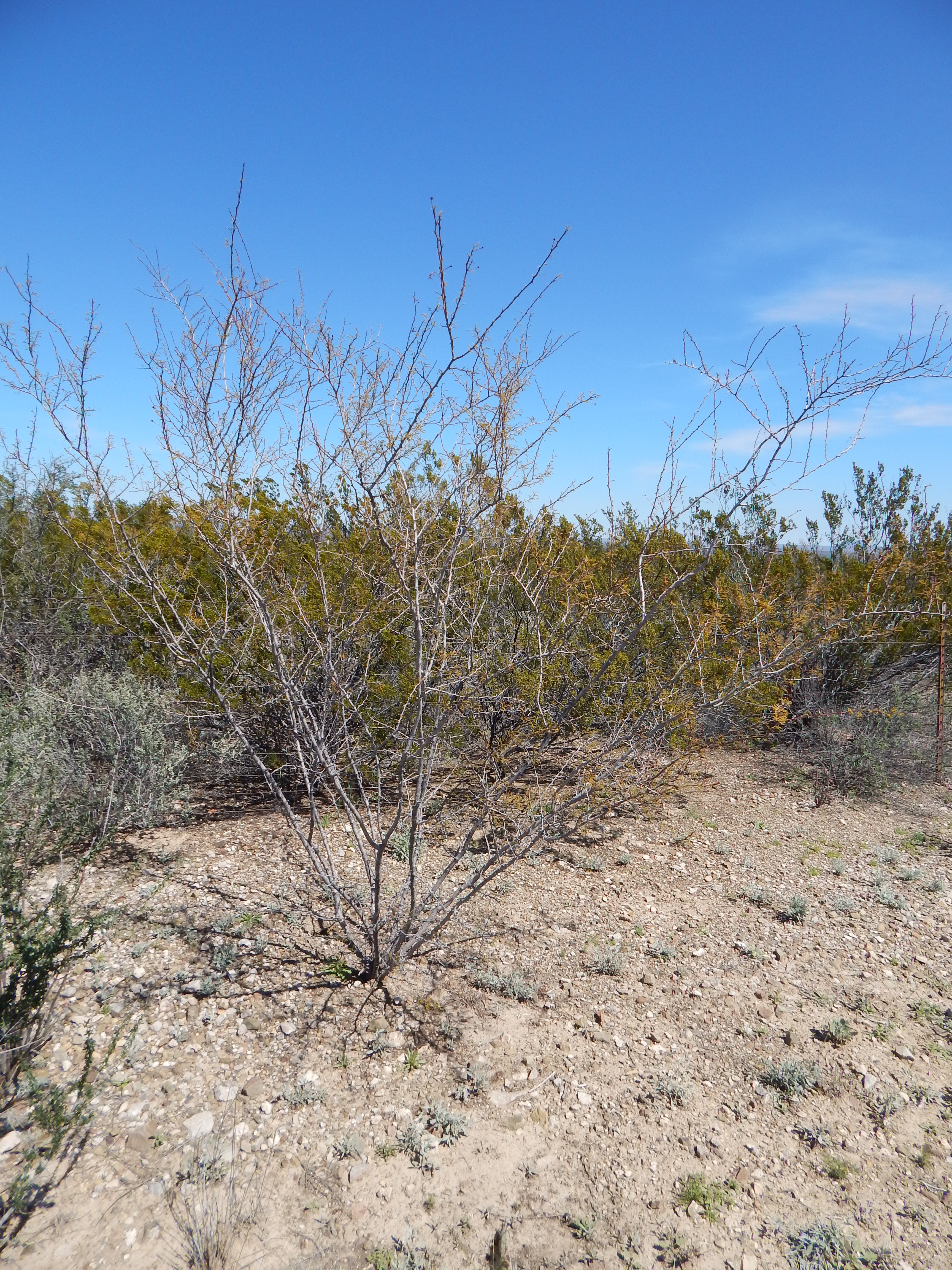
Vachellia vernicosa
Viscid Acacia
|
Photographer: E. Wynn Anderson
ID: 0000 0000 0218 0063 (2018-02-01)Copyright © 2018 Wynn Anderson
|
|
INFORMATION PROVIDED WITH THE PHOTO
|
date of photo Mar 7, 2015
latitude 29.68789 longitude 103.15569
View on Google Maps.
location
State Highway TX 2627 to La Linda, MX & Black Gap WMA, 0.6 mile southeast of junction with US 385, 5.6 miles northwest of Stillwell Store (Brewster County, Texas, US)family
Fabaceae
plant community Chihuahuan Desert scrub at 2600' (792m)notes Perennial woody based subshrub on coarse limestone sands and gravels at roadside crossing gently sloping out-wash plain. SYN: Acacia n.keywords: CDR, Chihuahuan Desert
contributor's ID # CDR 2109 photo category: Plant - shrub
|
MORE INFORMATION ABOUT THIS PLANT
|
| common names
Viscid Acacia (photographer)
View all photos in CalPhotos of Vachellia vernicosa Check Google Images for Vachellia vernicosa |
|
The photographer's identification Vachellia vernicosa has not been reviewed. Sign in to review or comment on this photo |
|
Using this photo The thumbnail photo (128x192 pixels) on this page may be freely used for personal or academic purposes without prior permission under the Fair Use provisions of US copyright law as long as the photo is clearly credited with © 2018 Wynn Anderson.
For other uses, or if you have questions, contact E. Wynn Anderson wanderson@UTEP.edu. |
|
|