|
|
click photo for larger file
high resolution: ZOOM browser
view full size

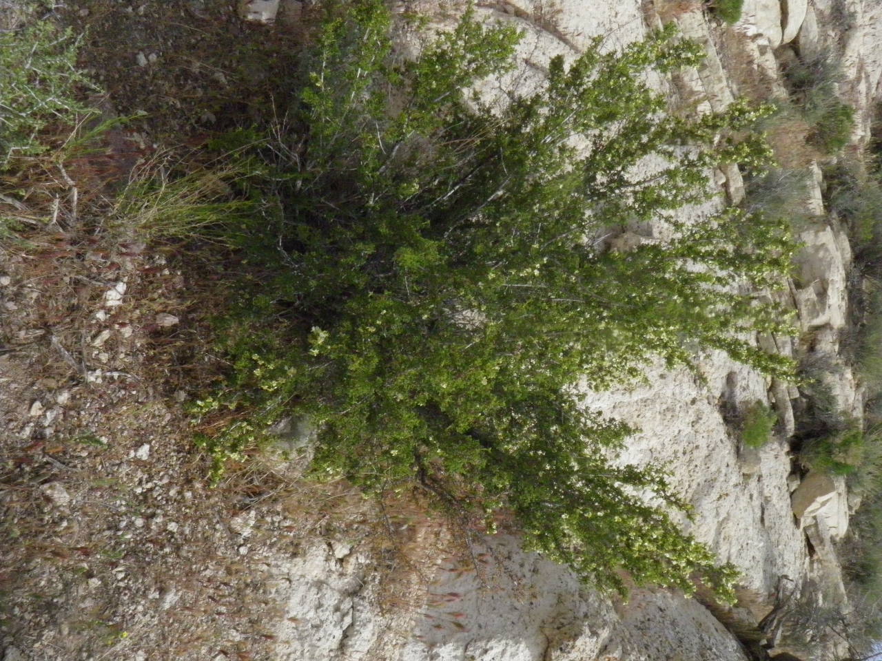
Purshia stansburiana
Antelope Bush
|
Photographer: E. Wynn Anderson
ID: 0000 0000 0325 0101 (2025-03-06)Copyright © 2025 Wynn Anderson
|
|
INFORMATION PROVIDED WITH THE PHOTO
|
date of photo May 3, 2019
latitude 36.85723 longitude 116.86419
View on Google Maps.
location
Titus Canyon Road., 7.6 miles west of junction with State Highway NV 374 from Beatty, 0.4 miles east of Death Valley National Park boundary at State line, (Nye Co. County, Nevada, US)family
Rosaceae
plant community at base of weathering outcrops of indurated volcanic ash flow tuff, with a narrow semi-riparian corridor along the arroyo drainage coursekeywords: NV, Nevada, Nye Co., Titus Canyon, Death Valley
contributor's ID # CAL 538 photo category: Plant - tree
|
MORE INFORMATION ABOUT THIS PLANT
|
| common names
Antelope Bush (photographer)
View all photos in CalPhotos of Purshia stansburiana Check Google Images for Purshia stansburiana |
|
The photographer's identification Purshia stansburiana has not been reviewed. Sign in to review or comment on this photo |
|
Using this photo The thumbnail photo (128x192 pixels) on this page may be freely used for personal or academic purposes without prior permission under the Fair Use provisions of US copyright law as long as the photo is clearly credited with © 2025 Wynn Anderson.
For other uses, or if you have questions, contact E. Wynn Anderson wanderson@UTEP.edu. |
|
|