|
|
click photo for larger file
high resolution: ZOOM browser
view full size

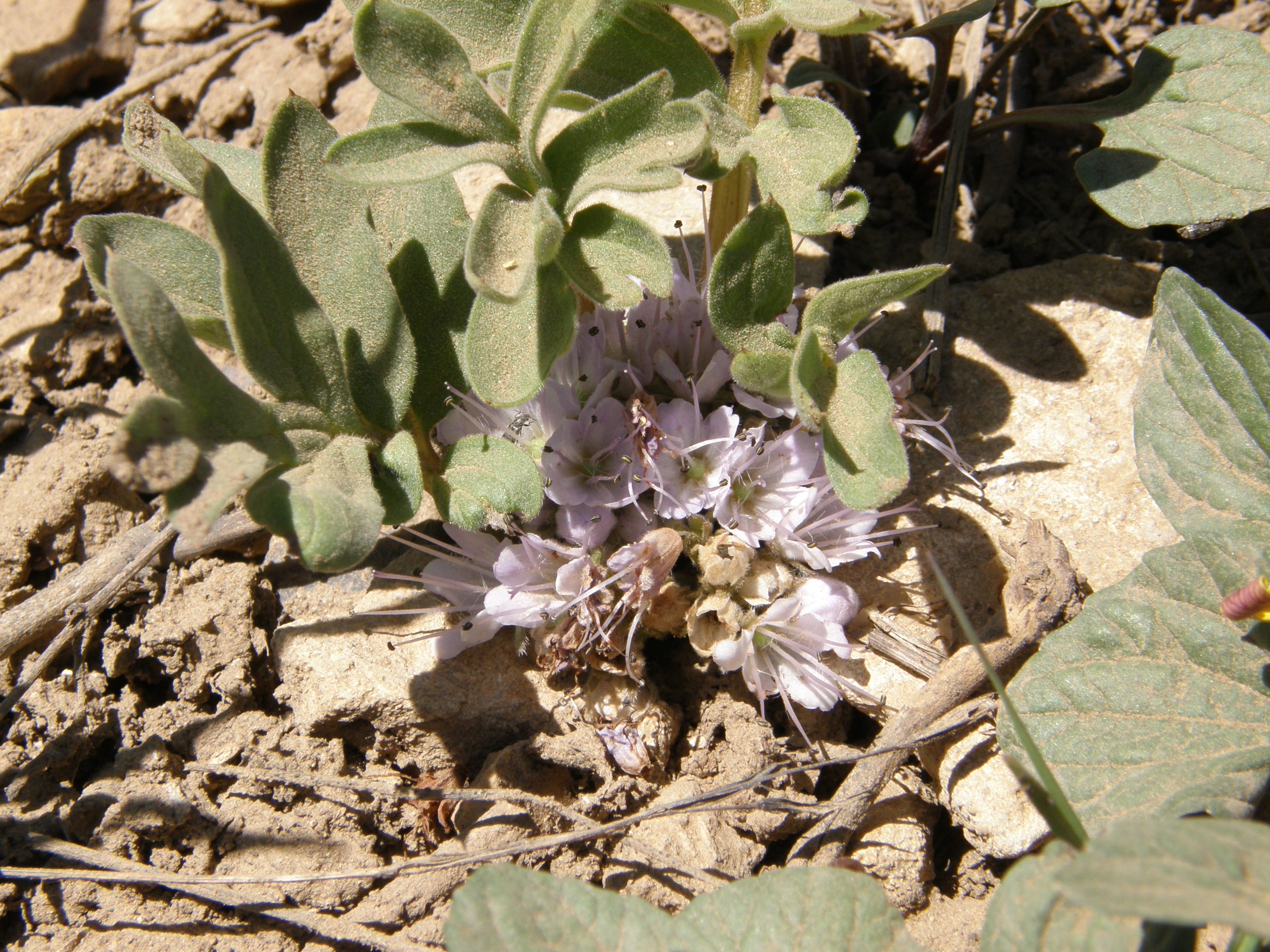
Hydrophyllum alpestre
Alpine Waterleaf
|
Photographer: E. Wynn Anderson
ID: 0000 0000 1124 1269 (2024-11-21)Copyright © 2024 Wynn Anderson
|
|
INFORMATION PROVIDED WITH THE PHOTO
|
date of photo Jun 14, 2008
latitude 39.25620 longitude -114.68997
View on Google Maps.
location
below Success Summit, near junction of Forest Service Road NF 423, and State Hiway NV 486, Humbolt National Forest, Schell Creek Range, White Pine Co. (Nevada, US)family
Hydrophyllaceae
synonyms Hydrophyllum capitatum var. alpinum
plant community on a low sloping, open alpine meadow community, in coarse coluvial soil and mixed gravelsnotes at elevation 9035 ft.(2754m)keywords: NV, Nevada
contributor's ID # NV 460 photo category: Plant - annual/perennial
|
ADDITIONAL TAXONOMIC NOTES FOR THIS PHOTO
|
| name change notes Feb 19 2025: Plants of the World (POTW) update via script. Previous name: Hydrophyllum capitatum var. alpinum ; updated name: Hydrophyllum alpestre |
MORE INFORMATION ABOUT THIS PLANT
|
| common names
Alpine Waterleaf, Ballhead Waterleaf (photographer)
View all photos in CalPhotos of Hydrophyllum alpestre Check Google Images for Hydrophyllum alpestre |
|
The photographer's identification Hydrophyllum alpestre has not been reviewed. Sign in to review or comment on this photo |
|
Using this photo The thumbnail photo (128x192 pixels) on this page may be freely used for personal or academic purposes without prior permission under the Fair Use provisions of US copyright law as long as the photo is clearly credited with © 2024 Wynn Anderson.
For other uses, or if you have questions, contact E. Wynn Anderson wanderson@UTEP.edu. |
|
|