INFORMATION PROVIDED WITH THE PHOTO
|
date of photo Feb 24, 2024
latitude 45.70511 longitude -121.38364
View on Google Maps.
horizontal datum WGS1984 location
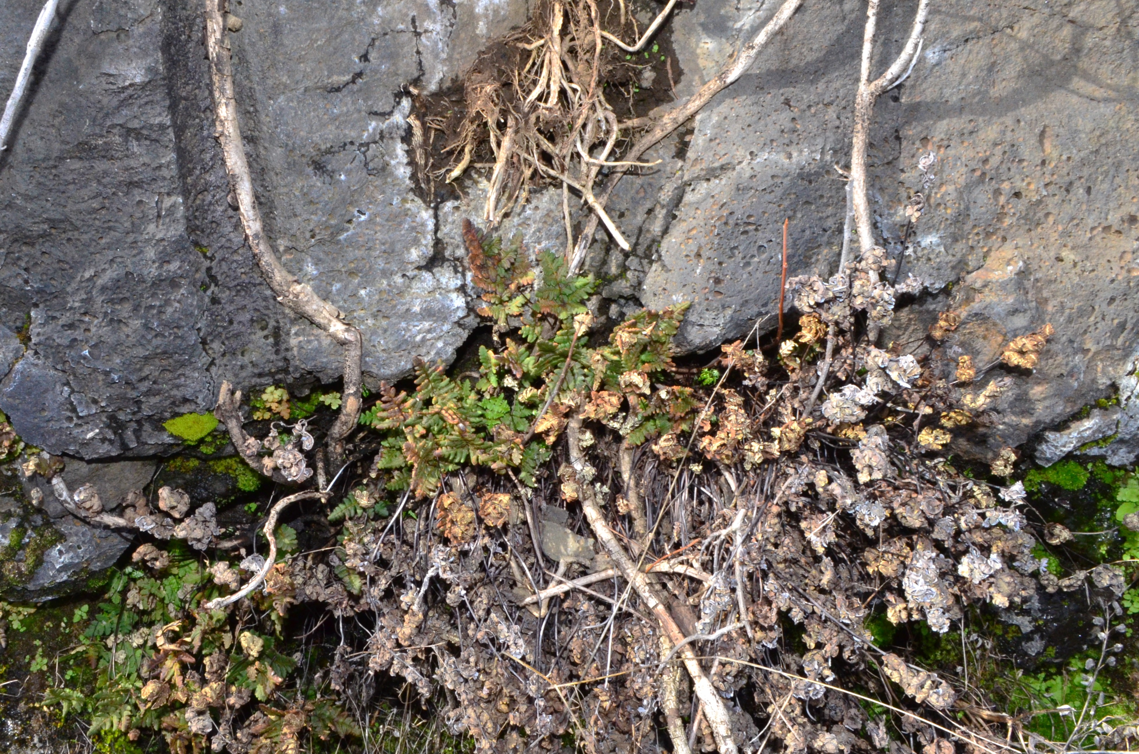
Syncline Trail - East Trailhead (Klickitat County, Washington, US)synonyms Pentagramma triangularis
contributor's ID # 2024_pic_1215 Pentagramma_triangularis_habitat.JPGphoto category: Plant - fern
batch id: batchid_2024-09-12_18:26:06_4680
|
ADDITIONAL TAXONOMIC NOTES FOR THIS PHOTO
|
| name change notes Feb 19 2025: Plants of the World (POTW) update via script. Previous name: Pentagramma triangularis ; updated name: Hemionitis triangularis |
MORE INFORMATION ABOUT THIS PLANT
|
| View all photos in CalPhotos of Hemionitis triangularis Check Google Images for Hemionitis triangularis |
