|
|
click photo for larger file
high resolution: ZOOM browser
view full size

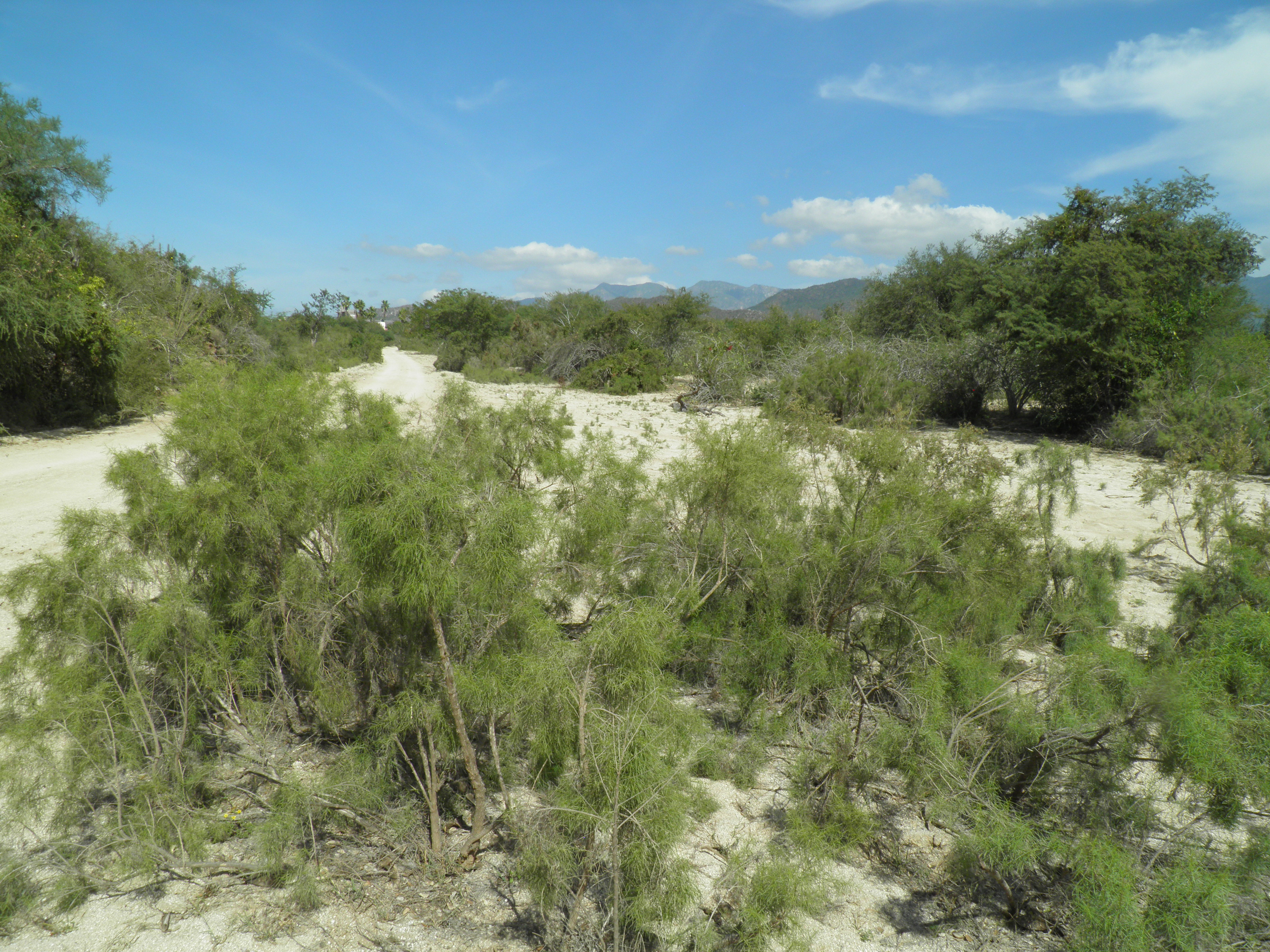
Ambrosia monogyra
Burroweed, Romerillo
|
Photographer: E. Wynn Anderson
ID: 0000 0000 1223 0864 (2023-12-27)Copyright © 2023 Wynn Anderson
|
|
INFORMATION PROVIDED WITH THE PHOTO
|
date of photo Dec 28, 2016
latitude 23.28090 longitude 110.03670
View on Google Maps.
location
road crossing mouth of wash into Rio Venancio, 0.3 mi. S of road E to Rancho San Venancio, 5.3 mi. S of road E to El Barranco, Sa. La Laguna, (Municpio La Paz, Baja California Sur, Mexico)family
Asteraceae
plant community elv. 200m (657’); on alluvial accumulations of coarse granitic sands and small gravels of a wide wash with a river riparian corridor within sacrocaulescent shrub desert on a coastal plain,notes common along banks of the Rio Venanciokeywords: Baja, BCs, BCSur
contributor's ID # BCs 363 photo category: Plant - shrub
|
MORE INFORMATION ABOUT THIS PLANT
|
| common names
Burroweed, Romerillo (photographer)
View all photos in CalPhotos of Ambrosia monogyra Check Google Images for Ambrosia monogyra |
|
The photographer's identification Ambrosia monogyra has not been reviewed. Sign in to review or comment on this photo |
|
Using this photo The thumbnail photo (128x192 pixels) on this page may be freely used for personal or academic purposes without prior permission under the Fair Use provisions of US copyright law as long as the photo is clearly credited with © 2023 Wynn Anderson.
For other uses, or if you have questions, contact E. Wynn Anderson wanderson@UTEP.edu. |
|
|