Back to: CalPhotos > Browse Photos > Geology
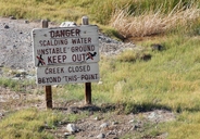
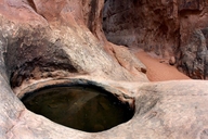
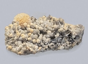
<< previous Volcanic Hot Springs - Wulfenite next >>
Last updated: May 13 2025
Questions and Comments this page last updated: May 13, 2025