|
|
click photo for larger file
high resolution: ZOOM browser
view full size

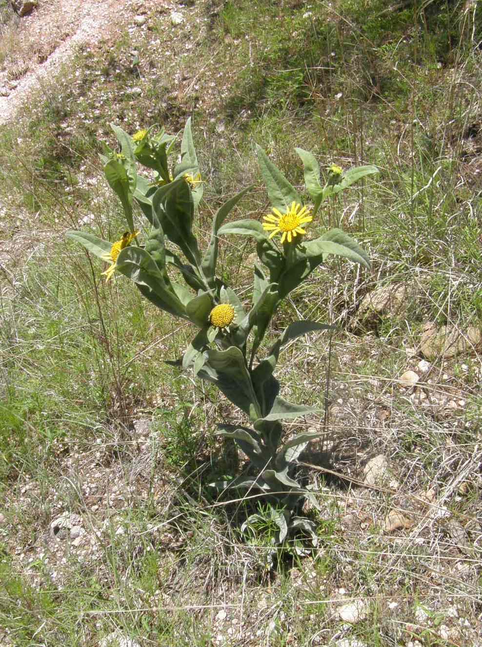
Viguiera decurrens
Yerba de La Mula
|
Photographer: E. Wynn Anderson
ID: 0000 0000 0822 0368 (2022-08-11)Copyright © 2022 Wynn Anderson
|
|
INFORMATION PROVIDED WITH THE PHOTO
|
date of photo Aug 19, 2011
latitude 28.38600 longitude 107.68270
View on Google Maps.
location
Federal Hiway MX 16, 12.7 miles west of junction with MX 31 north to Guerrero, 2.8 miles east of bridge in Cienguenita, Mcp. Guerrero, Chihuahua, Mexico (Mcp. Guerrero, Chihuahua, Mexico)family
Asteraceae
plant community pine-juniper-oak woodlandnotes on crest of low rocky extrusive volcanic ridge of extrusive rhyolites and welded ash forming the undulating plateau of the Sierra Madre Occidental with a pine-juniper-oak-woodlandkeywords: SMOc
contributor's ID # 2987 photo category: Plant - annual/perennial
|
MORE INFORMATION ABOUT THIS PLANT
|
| common names
Yerba de La Mula (photographer)
View all photos in CalPhotos of Viguiera decurrens Check Google Images for Viguiera decurrens |
|
The photographer's identification Viguiera decurrens has not been reviewed. Click here to review or comment on the identification. |
|
Using this photo The thumbnail photo (128x192 pixels) on this page may be freely used for personal or academic purposes without prior permission under the Fair Use provisions of US copyright law as long as the photo is clearly credited with © 2022 Wynn Anderson.
For other uses, or if you have questions, contact E. Wynn Anderson wanderson@UTEP.edu. |
|
|