|
|
click photo for larger file
high resolution: ZOOM browser
view full size

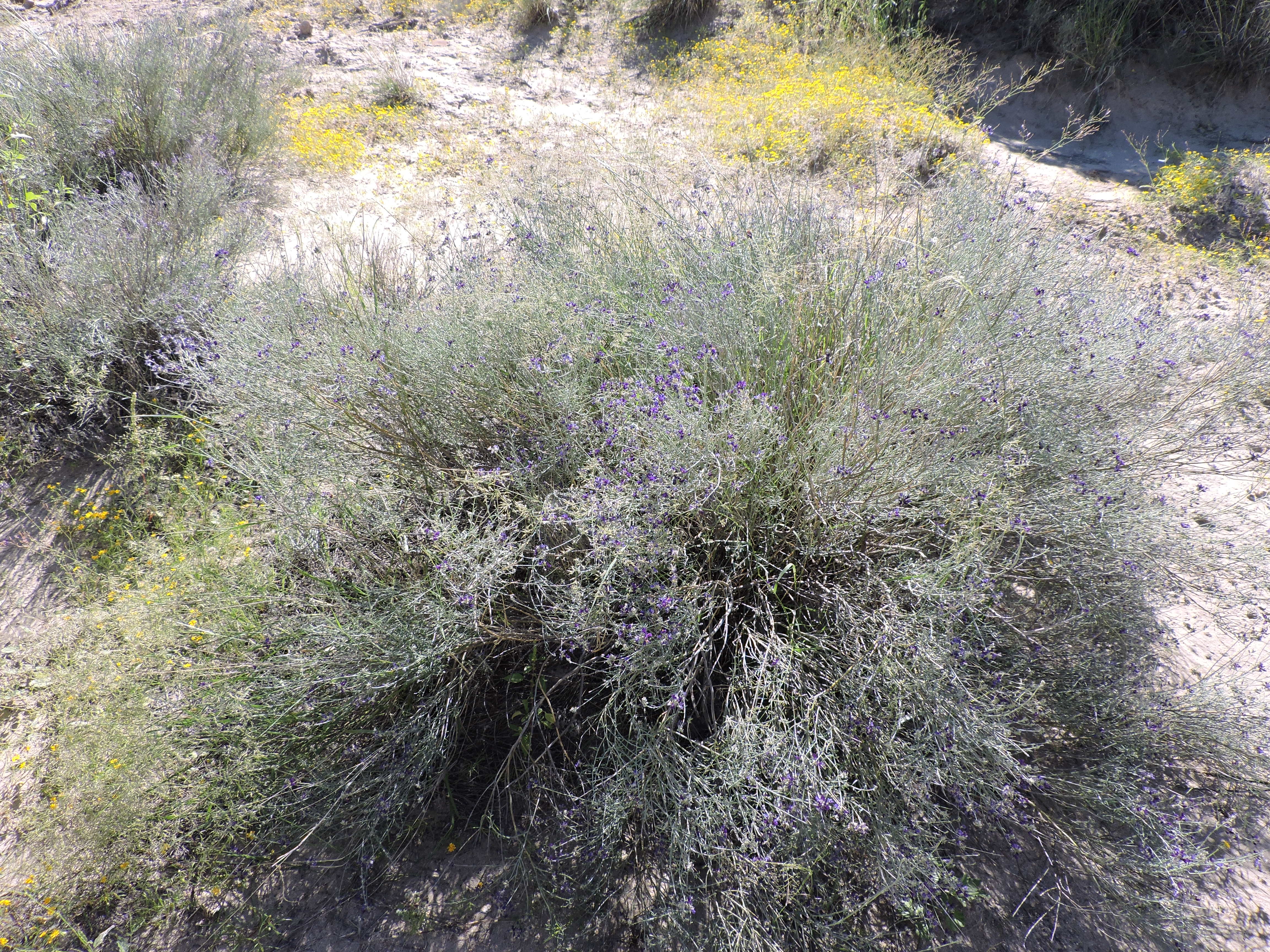
Psorothamnus scoparius
Broom Dalea
|
Photographer: E. Wynn Anderson
ID: 0000 0000 0119 1869 (2019-01-14)Copyright © 2019 Wynn Anderson
|
|
INFORMATION PROVIDED WITH THE PHOTO
|
date of photo Sep 18, 2016
latitude 32.64731 longitude 107.20387
View on Google Maps.
location
State Highway NM 26, 15.6 miles east of junction with NM 27 at Nutt, 2.8 miles west of NM 187 in Hatch (Dona Ana County, New Mexico, US)family
Fabaceae
plant community Chihuahuan Desert sand scrub at 4290' (1307m)notes many stemmed mounding shrub on low semi-stabilized sand dunes at breaks of the Rio Grande River, Calyx villous.keywords: CDR, Chihuahuan Desert, sand dunes
contributor's ID # CDR 140 photo category: Plant - shrub
|
MORE INFORMATION ABOUT THIS PLANT
|
| common names
Broom Dalea (photographer)
View all photos in CalPhotos of Psorothamnus scoparius Check Google Images for Psorothamnus scoparius |
|
The photographer's identification Psorothamnus scoparius has not been reviewed. Click here to review or comment on the identification. |
|
Using this photo The thumbnail photo (128x192 pixels) on this page may be freely used for personal or academic purposes without prior permission under the Fair Use provisions of US copyright law as long as the photo is clearly credited with © 2019 Wynn Anderson.
For other uses, or if you have questions, contact E. Wynn Anderson wanderson@UTEP.edu. |
|
|