|
|
click photo for larger file
high resolution: ZOOM browser
view full size

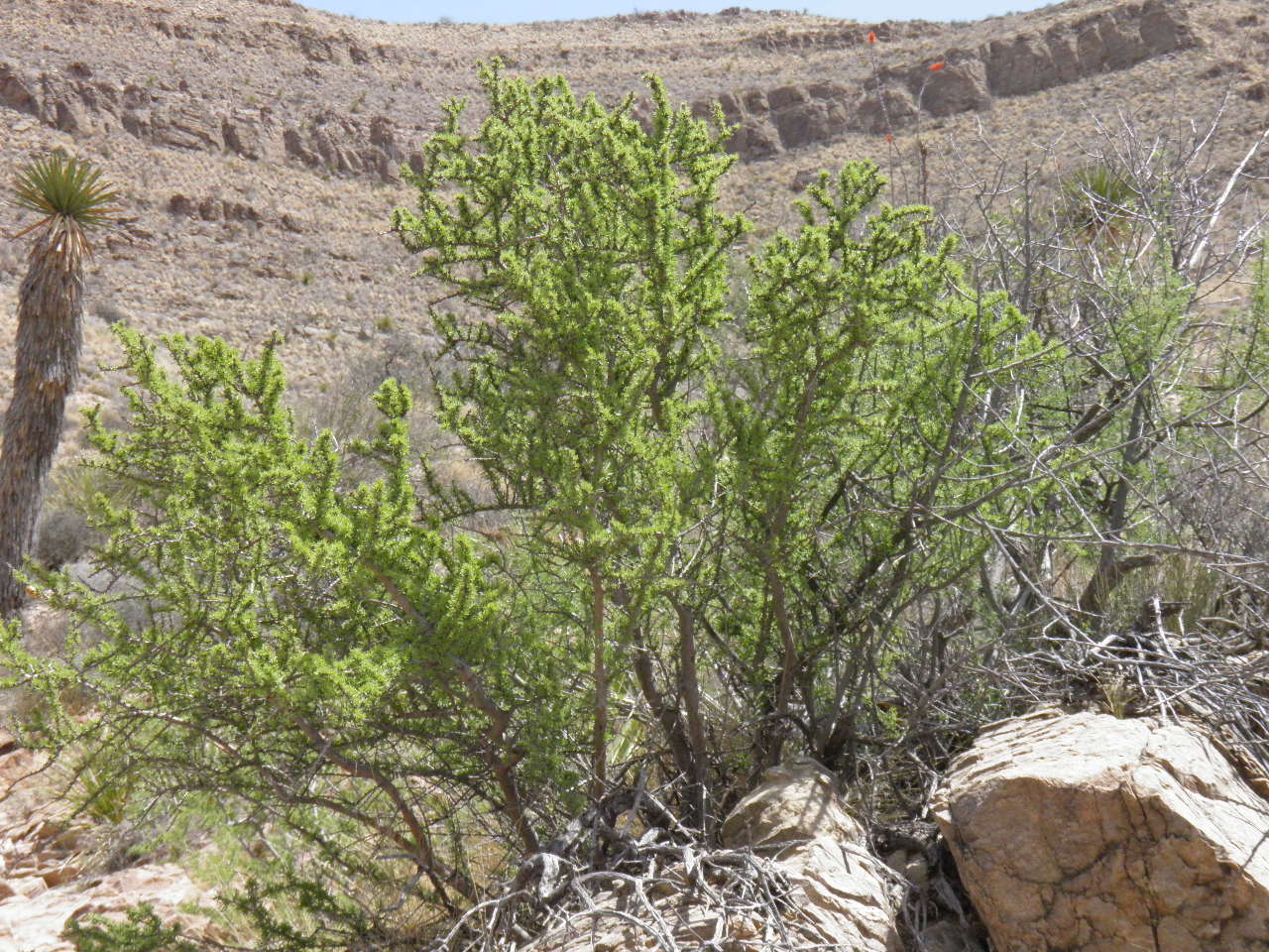
Forestiera angustifolia
Desert Olive
|
Photographer: E. Wynn Anderson
ID: 0000 0000 1018 1195 (2018-10-17)Copyright © 2018 Wynn Anderson
|
|
INFORMATION PROVIDED WITH THE PHOTO
|
date of photo Apr 20, 2018
latitude 30.77640 longitude 104.99953
View on Google Maps.
location
local ranch road through Echo Canyon, Indio Mountains, 1.8 miles southwest of East (main) gate, 0.9 mile east of 3-way junction north to headquarters for Indio Mountains Research Station (Hudspeth County, Texas, US)family
Oleaceae
plant community Chihuahuan Desert scrub at 4229' (1289m)notes among limestone boulders and gravels of canyon bottom with Yucca faxoniana, Senegalia greggii, Mimosa biunciferakeywords: CDR, Chihuahuan Desert, IMRS, Indio
contributor's ID # CDR 87 photo category: Plant - shrub
|
MORE INFORMATION ABOUT THIS PLANT
|
| common names
Desert Olive, Narrowleaf Foresteria, Panalero (photographer)
View all photos in CalPhotos of Forestiera angustifolia Check Google Images for Forestiera angustifolia |
|
The photographer's identification Forestiera angustifolia has not been reviewed. Click here to review or comment on the identification. |
|
Using this photo The thumbnail photo (128x192 pixels) on this page may be freely used for personal or academic purposes without prior permission under the Fair Use provisions of US copyright law as long as the photo is clearly credited with © 2018 Wynn Anderson.
For other uses, or if you have questions, contact E. Wynn Anderson wanderson@UTEP.edu. |
|
|