|
|
click photo for larger file
high resolution: ZOOM browser
view full size

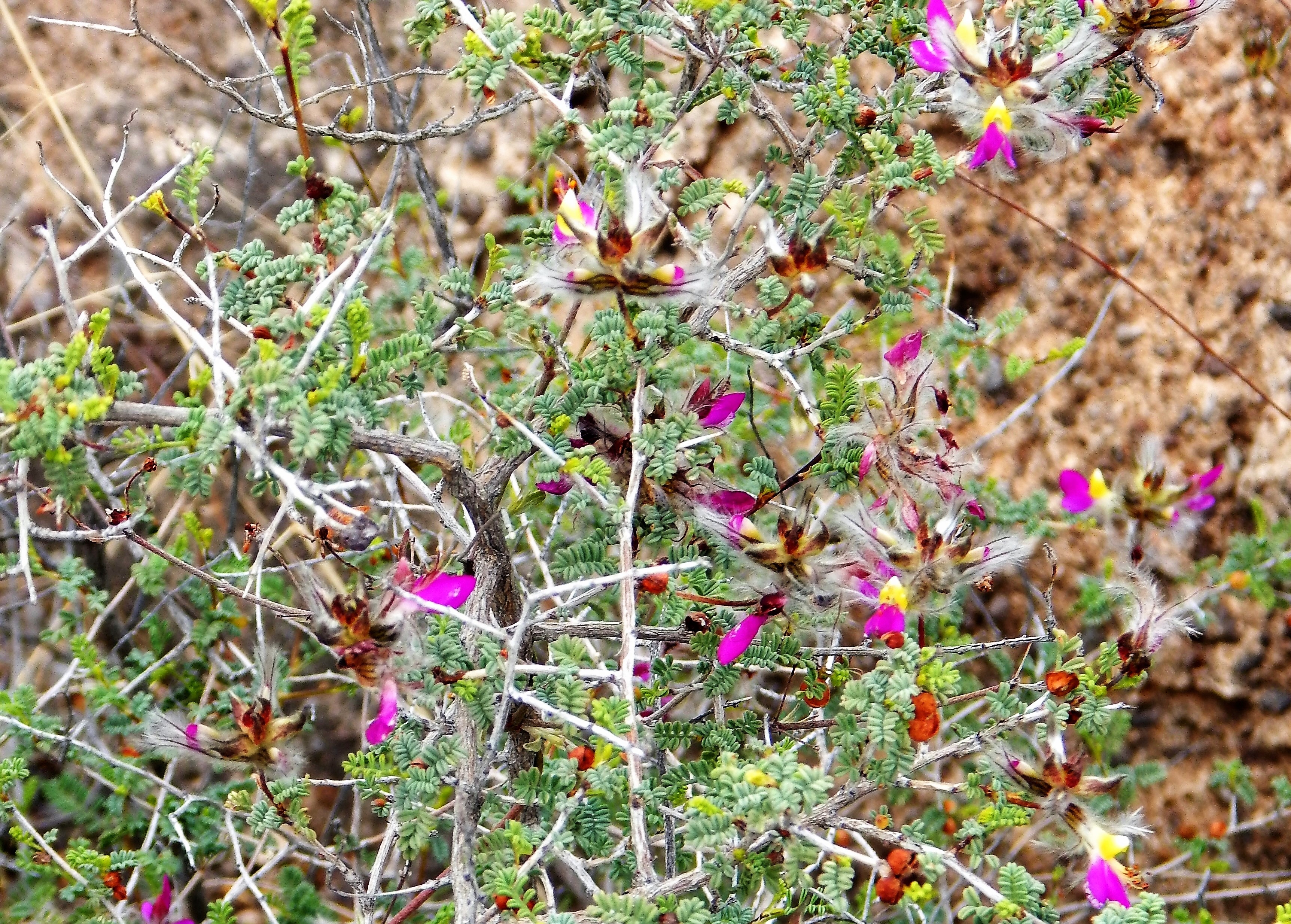
Dalea formosa
Feather Dalea
|
Photographer: E. Wynn Anderson
ID: 0000 0000 0218 1534 (2018-02-19)Copyright © 2018 Wynn Anderson
|
|
INFORMATION PROVIDED WITH THE PHOTO
|
date of photo Mar 8, 2015
latitude 29.37950 longitude 104.11440
View on Google Maps.
location
State Highway TX 170, 7.0 mile east of Redford at Cemetery Road, 9.4 miles we west of Hoodoo's Trail pullout, Big Bend Ranch State Park, (Presidio County, Texas, US)family
Fabaceae
plant community Chihuahuan Desert scrub at 2536' (726m)notes in mixed gravels in calcareous soil on alluvial terrace above a small arroyokeywords: CDR, Chihuahuan Desert, Big Bend
contributor's ID # CDR 800 photo category: Plant - shrub
|
MORE INFORMATION ABOUT THIS PLANT
|
| common names
Feather Dalea, Beautiful Dalea, Plumed Indigiobush (photographer)
View all photos in CalPhotos of Dalea formosa Check Google Images for Dalea formosa |
|
The photographer's identification Dalea formosa has not been reviewed. Click here to review or comment on the identification. |
|
Using this photo The thumbnail photo (128x192 pixels) on this page may be freely used for personal or academic purposes without prior permission under the Fair Use provisions of US copyright law as long as the photo is clearly credited with © 2018 Wynn Anderson.
For other uses, or if you have questions, contact E. Wynn Anderson wanderson@UTEP.edu. |
|
|