|
|
click photo for larger file
high resolution: ZOOM browser
view full size

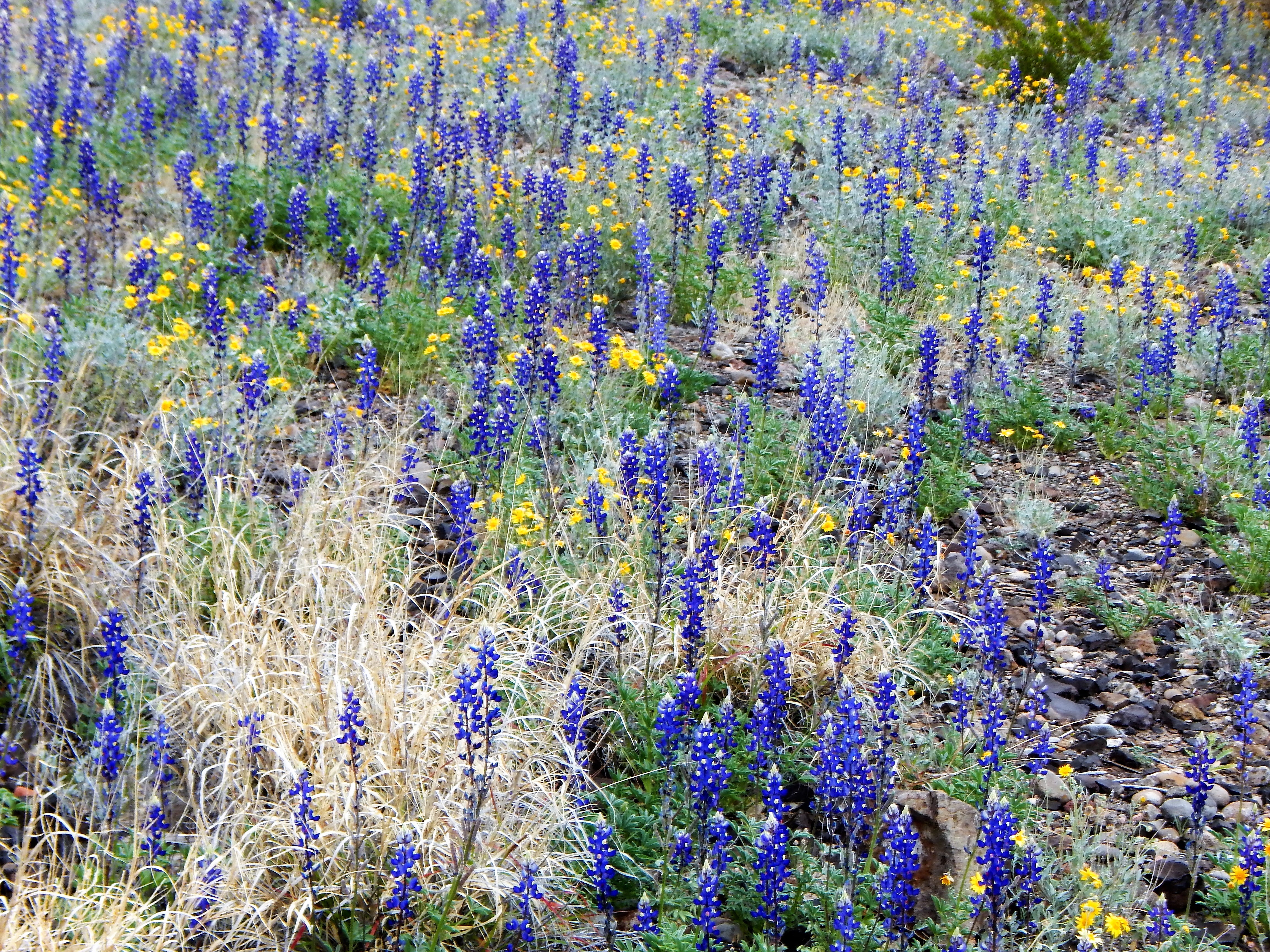
Lupinus havardii
Big Bend Bluebonnet
(shown with Baileya multiradiata)
|
Photographer: E. Wynn Anderson
ID: 0000 0000 0218 1240 (2018-02-18)Copyright © 2018 Wynn Anderson
|
|
INFORMATION PROVIDED WITH THE PHOTO
|
date of photo Mar 8, 2015
latitude 29.26630 longitude 103.78210
View on Google Maps.
location
State Highway TX 170, 0.3 mile east of Presidio County line & boundary of Big Bend Ranch State Park, 0.5 mile west of Clay Henry Road in Lajitas, (Brewster County, Texas, US)family
Fabaceae
plant community Chihuahuan Desert scrub at 2310' (704m)notes tall (to 2 feet), erect annual forb in coarse, mixed limestone and volcanic gravels along margin of a wide braided wash.keywords: CDR, Chihuahuan Desert, Big Bend
contributor's ID # CDR 272 photo category: Plant - annual/perennial
|
MORE INFORMATION ABOUT THIS PLANT
|
| common names
Big Bend Bluebonnet (photographer)
View all photos in CalPhotos of Lupinus havardii Check Google Images for Lupinus havardii |
|
The photographer's identification Lupinus havardii has not been reviewed. Click here to review or comment on the identification. |
|
Using this photo The thumbnail photo (128x192 pixels) on this page may be freely used for personal or academic purposes without prior permission under the Fair Use provisions of US copyright law as long as the photo is clearly credited with © 2018 Wynn Anderson.
For other uses, or if you have questions, contact E. Wynn Anderson wanderson@UTEP.edu. |
|
|