|
|
click photo for larger file
high resolution: ZOOM browser
view full size

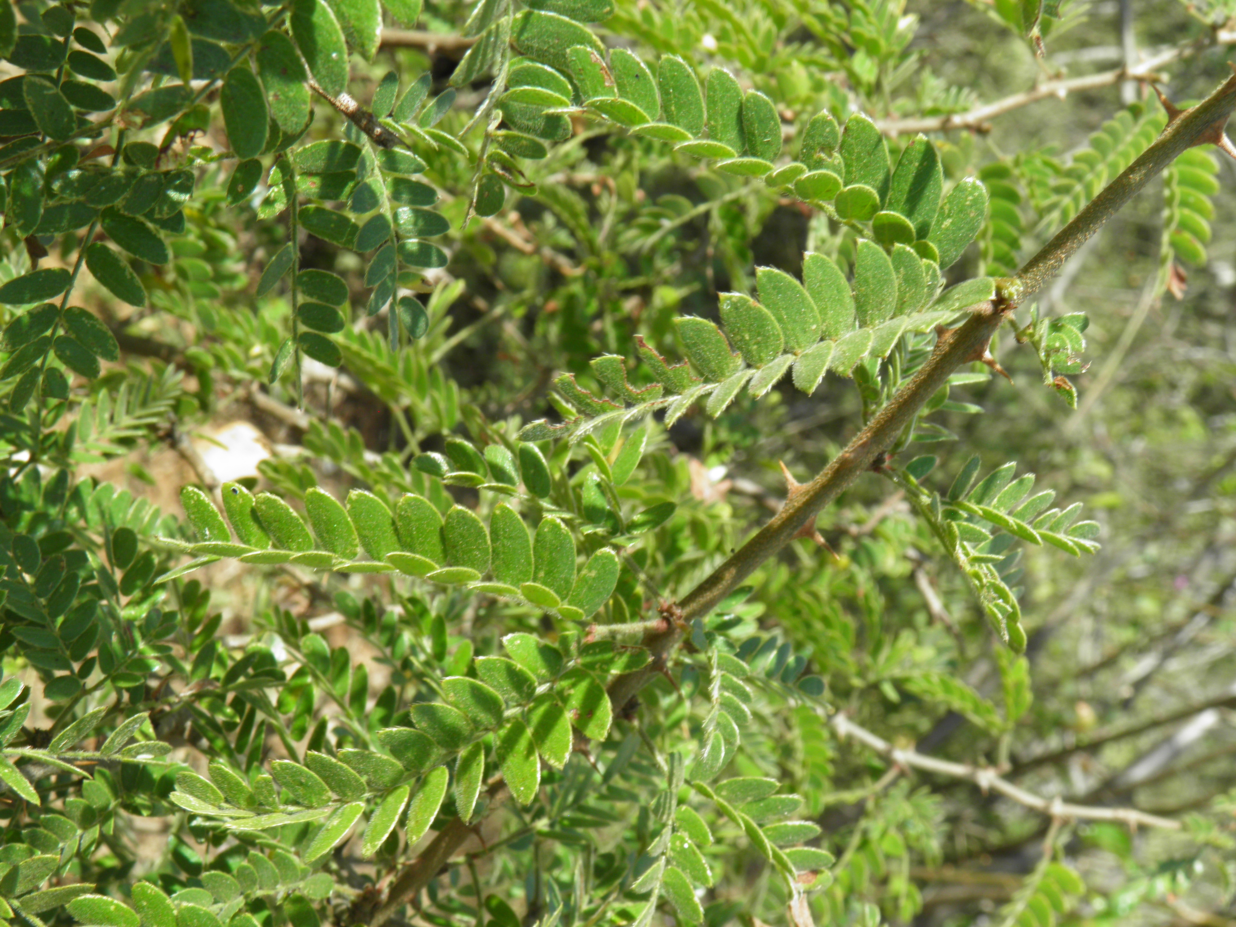
Mimosa tricephala var. xanti
Xantus Mimosa, Celosa
|
Photographer: E. Wynn Anderson
ID: 0000 0000 0124 1424 (2024-01-24)Copyright © 2024 Wynn Anderson
|
|
INFORMATION PROVIDED WITH THE PHOTO
|
date of photo Nov 28, 2016
latitude 23.35230 longitude 110.02060
View on Google Maps.
location
rural dirt road, between San Andres and El Barranco, 12.5 miles. east of MX 19 at El Pescadero, 3.5 miles south of lower fork jxn to San Andres, 0.4 mile north of road east to El Barranco (Municpio La Paz, Baja California Sur, Mexico)family
Fabaceae
plant community thicket, on granitic soil and gravels of the transition from sacrocaulescent shrub desert community toto upland foothill desert tree/shrub leguminous community on western foothill uplifted fault scarp of Sierra La Lagumanotes foliage viewkeywords: Baja, BCs, BCSur
contributor's ID # BCs 220 photo category: Plant - tree/shrub
|
MORE INFORMATION ABOUT THIS PLANT
|
| common names
Xantus Mimosa, Celosa (photographer)
View all photos in CalPhotos of Mimosa tricephala var. xanti Check Google Images for Mimosa tricephala var. xanti |
|
The photographer's identification Mimosa tricephala var. xanti has not been reviewed. Click here to review or comment on the identification. |
|
Using this photo The thumbnail photo (128x192 pixels) on this page may be freely used for personal or academic purposes without prior permission under the Fair Use provisions of US copyright law as long as the photo is clearly credited with © 2024 Wynn Anderson.
For other uses, or if you have questions, contact E. Wynn Anderson wanderson@UTEP.edu. |
|
|