|
|
click photo for larger file
high resolution: ZOOM browser
view full size

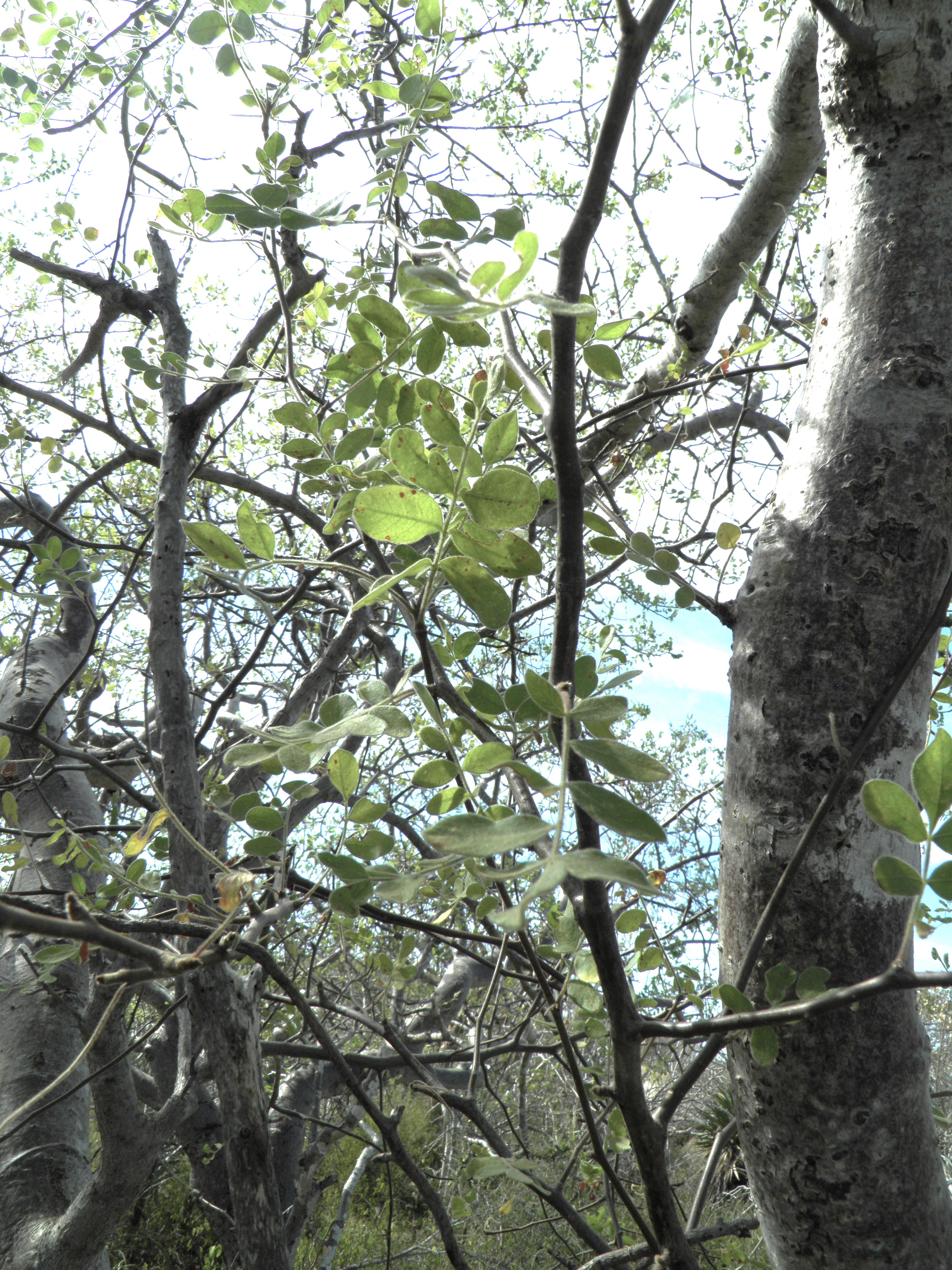
Cyrtocarpa edulis
Ciruelo
|
Photographer: E. Wynn Anderson
ID: 0000 0000 1223 0836 (2023-12-24)Copyright © 2023 Wynn Anderson
|
|
INFORMATION PROVIDED WITH THE PHOTO
|
date of photo Nov 28, 2016
latitude 23.28090 longitude 110.13870
View on Google Maps.
location
rural dirt road, 3.4 mi. east from hiway MX 19-km82, 4.5 miles west of El Aguaje junction (Municpio La Paz, Baja California Sur, Mexico)family
Anacardiaceae
plant community in sacrocaulescent shrub desert on igneous substrate with granitic gravels in sandy, silty soil on a gently sloping coastal plainnotes area subjected to major hurricane winds earlier in 2016, stripping or shredding foliage, uprooting or breaking limbs of larger trees and arborescent cactikeywords: Baja, BCs, BCSur
contributor's ID # BCS 457 photo category: Plant - tree
|
MORE INFORMATION ABOUT THIS PLANT
|
| common names
Ciruelo (photographer)
View all photos in CalPhotos of Cyrtocarpa edulis Check Google Images for Cyrtocarpa edulis |
|
The photographer's identification Cyrtocarpa edulis has not been reviewed. Click here to review or comment on the identification. |
|
Using this photo The thumbnail photo (128x192 pixels) on this page may be freely used for personal or academic purposes without prior permission under the Fair Use provisions of US copyright law as long as the photo is clearly credited with © 2023 Wynn Anderson.
For other uses, or if you have questions, contact E. Wynn Anderson wanderson@UTEP.edu. |
|
|